Inari’s History
On this page, you can explore highlights from the history of the Inari region. The texts are based on the history books published by the Municipality of Inari: Ihmisten Inari – Kohtaamisten maa (2026) and Inari Aanaar – Inarin historia jääkaudesta nykypäivään (2003).
The historical texts and images are also featured on history boards installed in the villages of Inari and Ivalo in 2026. The history boards were created as part of the Municipality of Inari’s 150th anniversary celebrations.
The idea for the history boards came from residents of the village of Inari.
Early history and winter villages
The oldest traces of human activity in Inari have been found at dwelling sites in Vuopaja, now an archaeological site, as well as in the vicinity of the Sámi Museum Siida. These finds date back to the period 8000–7000 BCE.
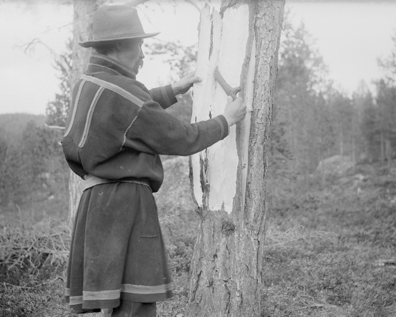
The Inari Sámi lived with the rhythm of nature, moving seasonally according to the availability of natural resources. By at least the late sixteenth century, they gathered during the winter in Sámi winter villages located to the west of Lake Inarijärvi. These settlements served as places where community members met, managed shared affairs, and made collective decisions. Priests, judges, merchants, and tax collectors also visited the villages.
Twelve winter village sites have been identified in Inari, eight of them along the Nukkumajoki River. Written sources tell us that the people of Inari also fished on the Varanger Peninsula, and evidence from pumice stones discovered in archaeological excavations indicates their travels took them towards the Arctic Ocean. The Nukkumajoki area remained inhabited until the 1660s.
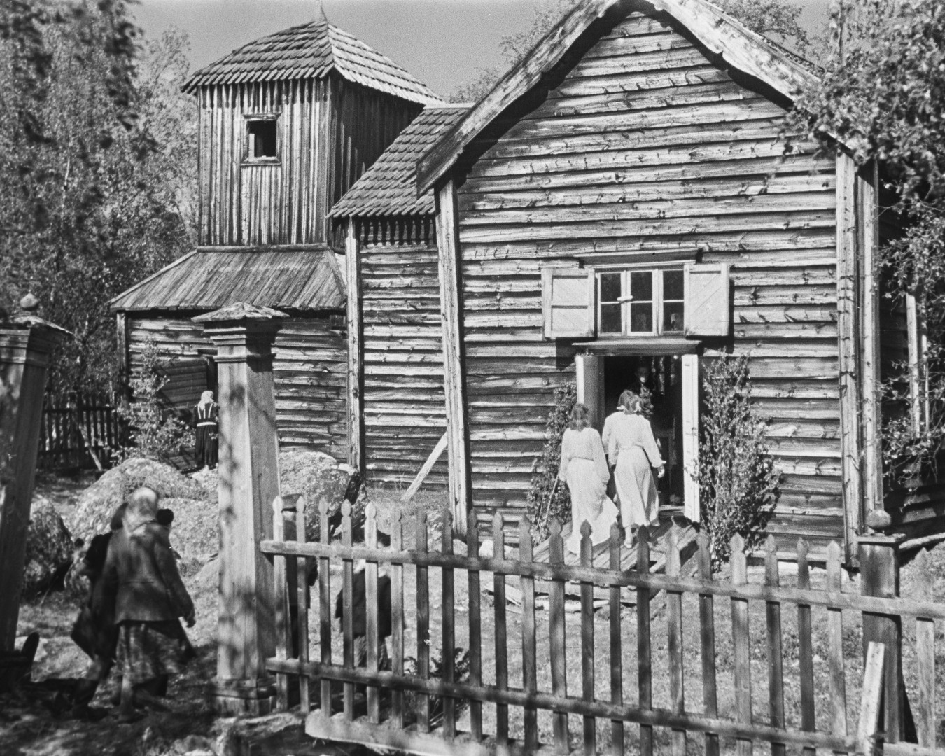
The Lake Pielpajärvi area became the new winter village of the Inari Sámi siida, and a church was built there in 1646. The present cruciform wooden church was completed in the eighteenth century. The Inari Library was established in the vicarage of Pielpajärvi in 1859. The Pielpajärvi Wilderness Church is one of the few built cultural heritage sites in Inari that survived the destruction of the Second World War.
History of settlement
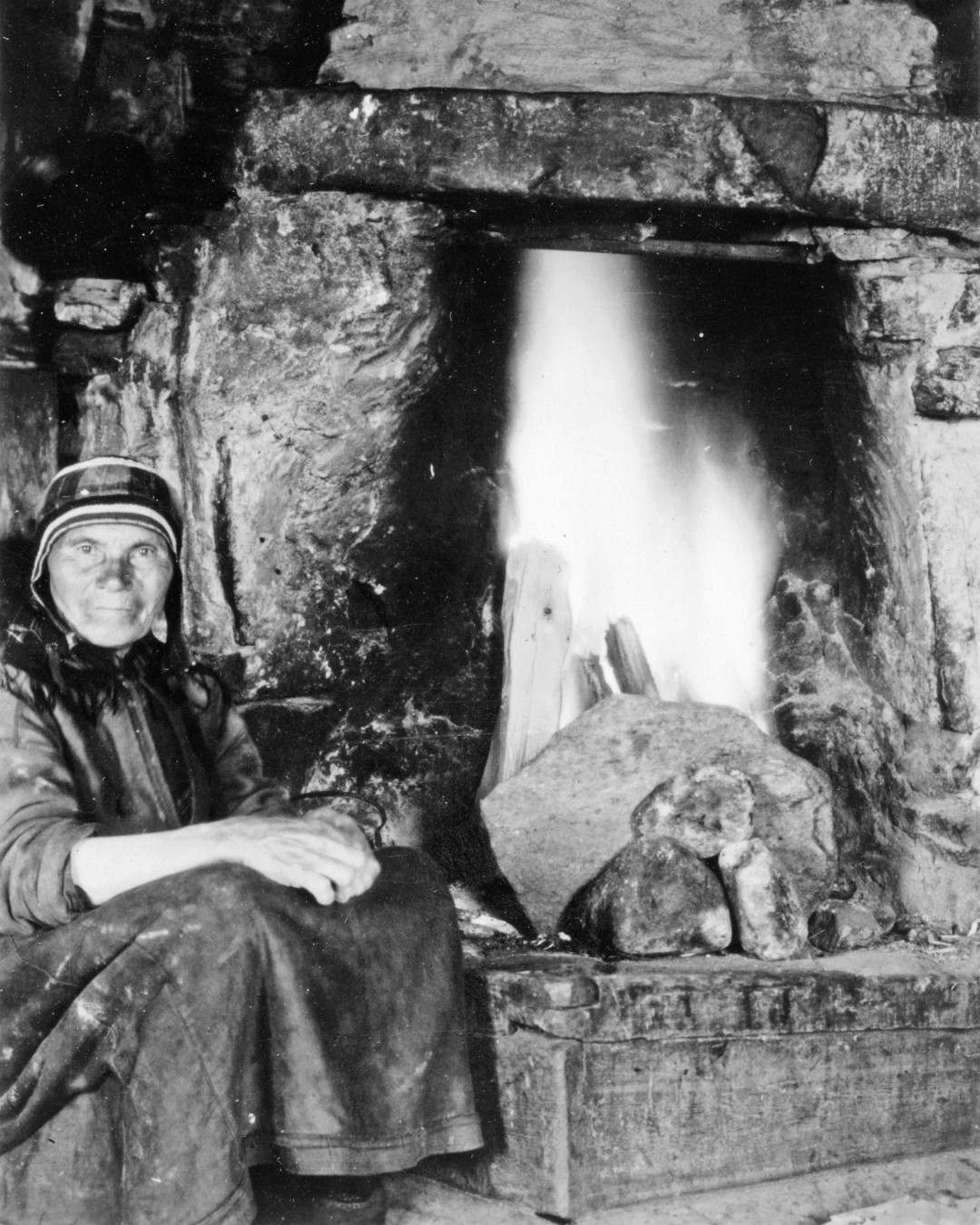
The original population of Inari consisted of the Inari Sámi, who lived around Lake Inarijärvi and belonged to the Inari Sámi siida. They moved between different seasonal settlements: in winter to reindeer grazing areas in the forests and in other seasons to the shores of fish-rich waters.
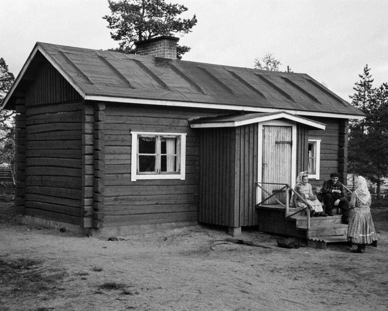
More permanent settlement by Finnish settlers began during the latter half of the eighteenth century. The first reviews of new homesteads were submitted to the Inari district court for approval in 1758, and one of the best-known early settlers was Henrik Kyrö, who moved to the area from the village of Kittilä.
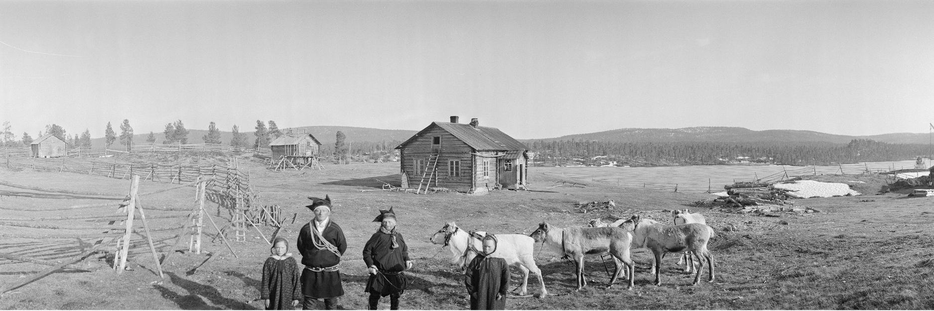
In 1852, Russia’s decision to close the border between Norway and the Grand Duchy of Finland cut off the traditional migration routes of reindeer pastoralists to the Arctic Ocean and significantly altered the conditions for reindeer husbandry. Herders and their animals had to choose which side of the border they would settle on. This change led to the establishment of more permanent North Sámi settlements in Inari, including Lisma and later Kuttura.
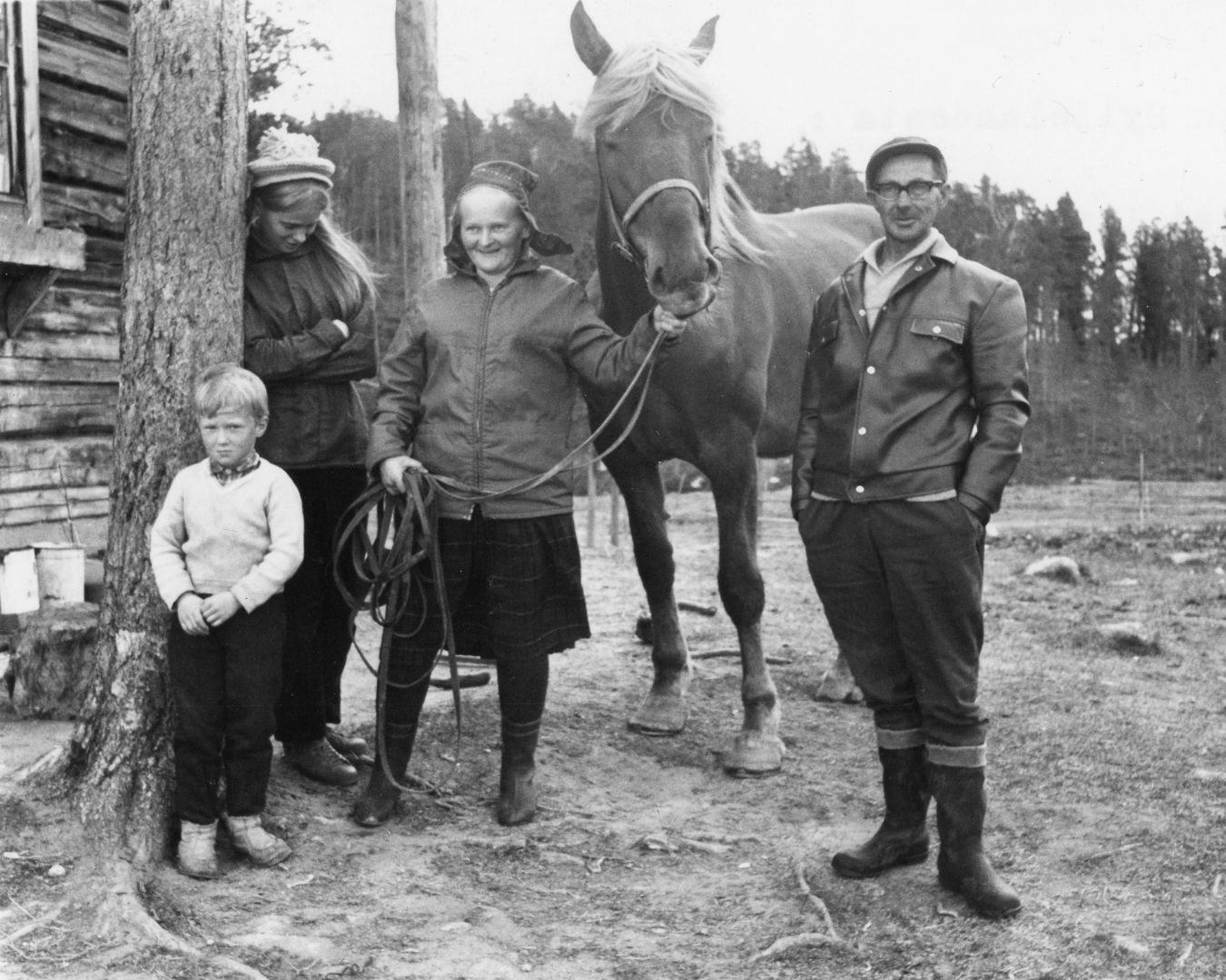
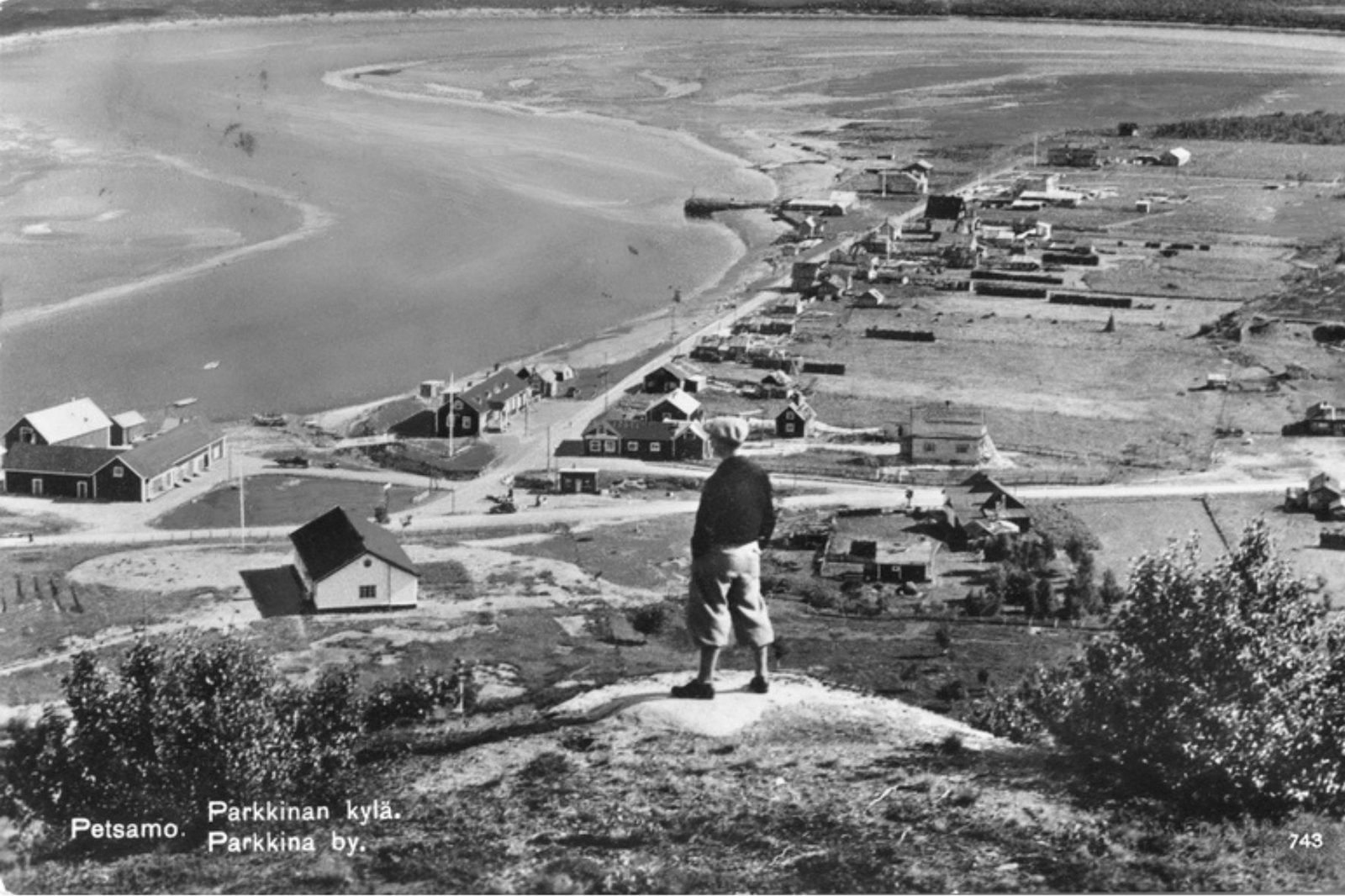
After the Second World War, part of the Skolt Sámi population was resettled in the areas of Sevettijärvi, Näätämö, Nellim, and Keväjärvi. Some Finns evacuated from Petsamo were also settled in Inari.
The history, cultural heritage, and contemporary life of the Sámi can be explored at the Sámi Museum Siida and the Sámi Cultural Centre Sajos.
For more information about the Sámi, visit: www.samediggi.fi
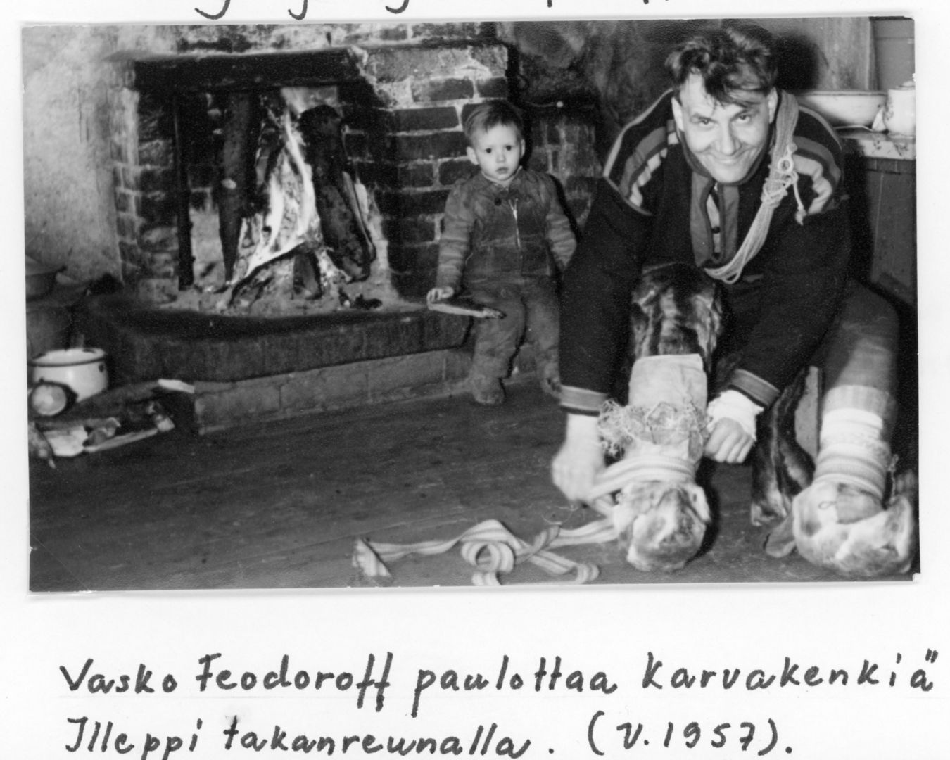
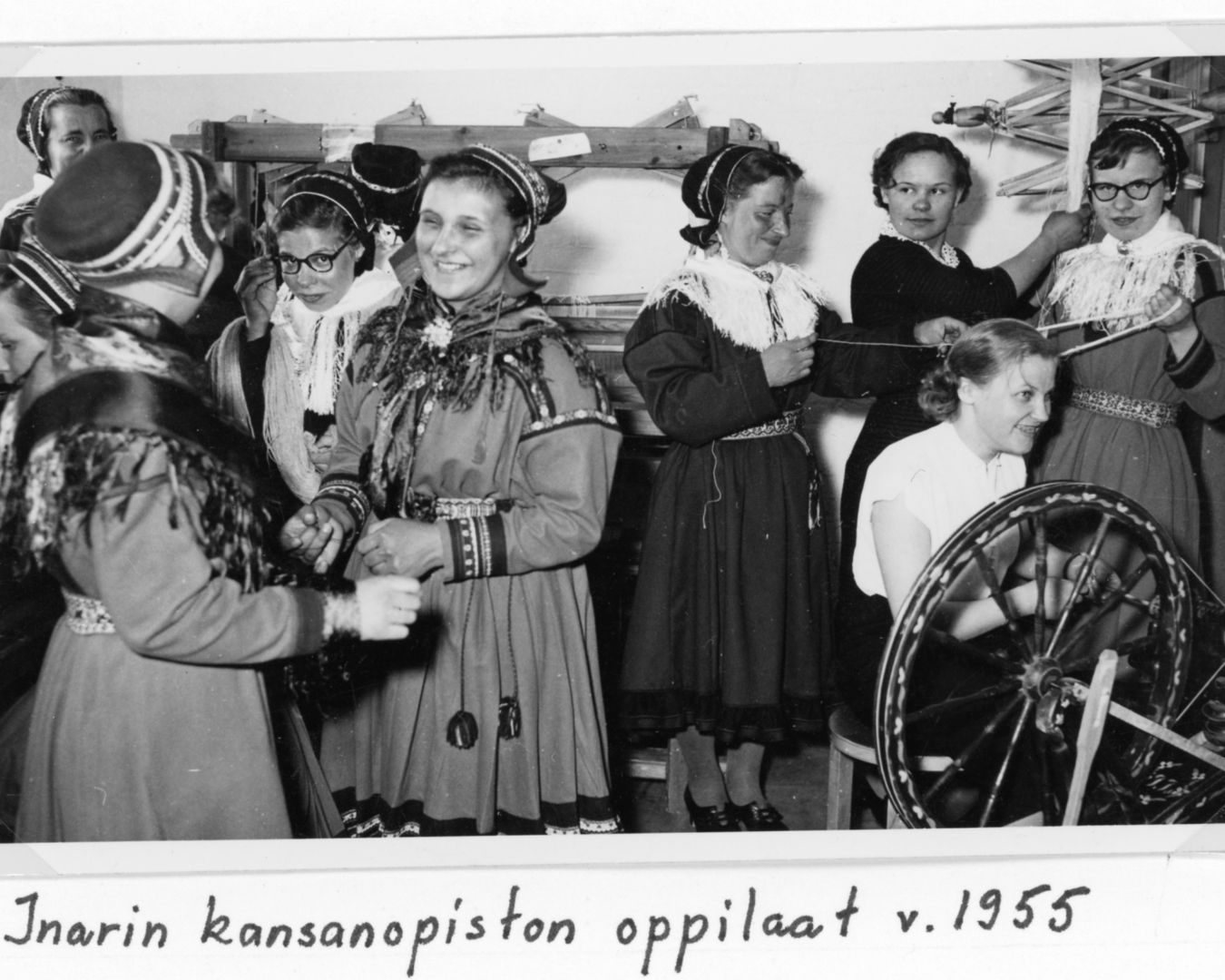
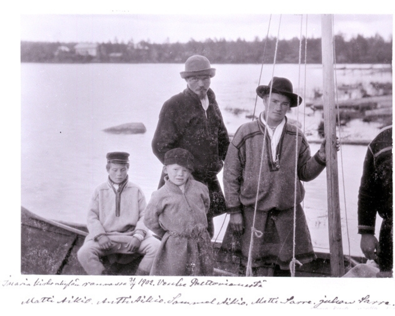
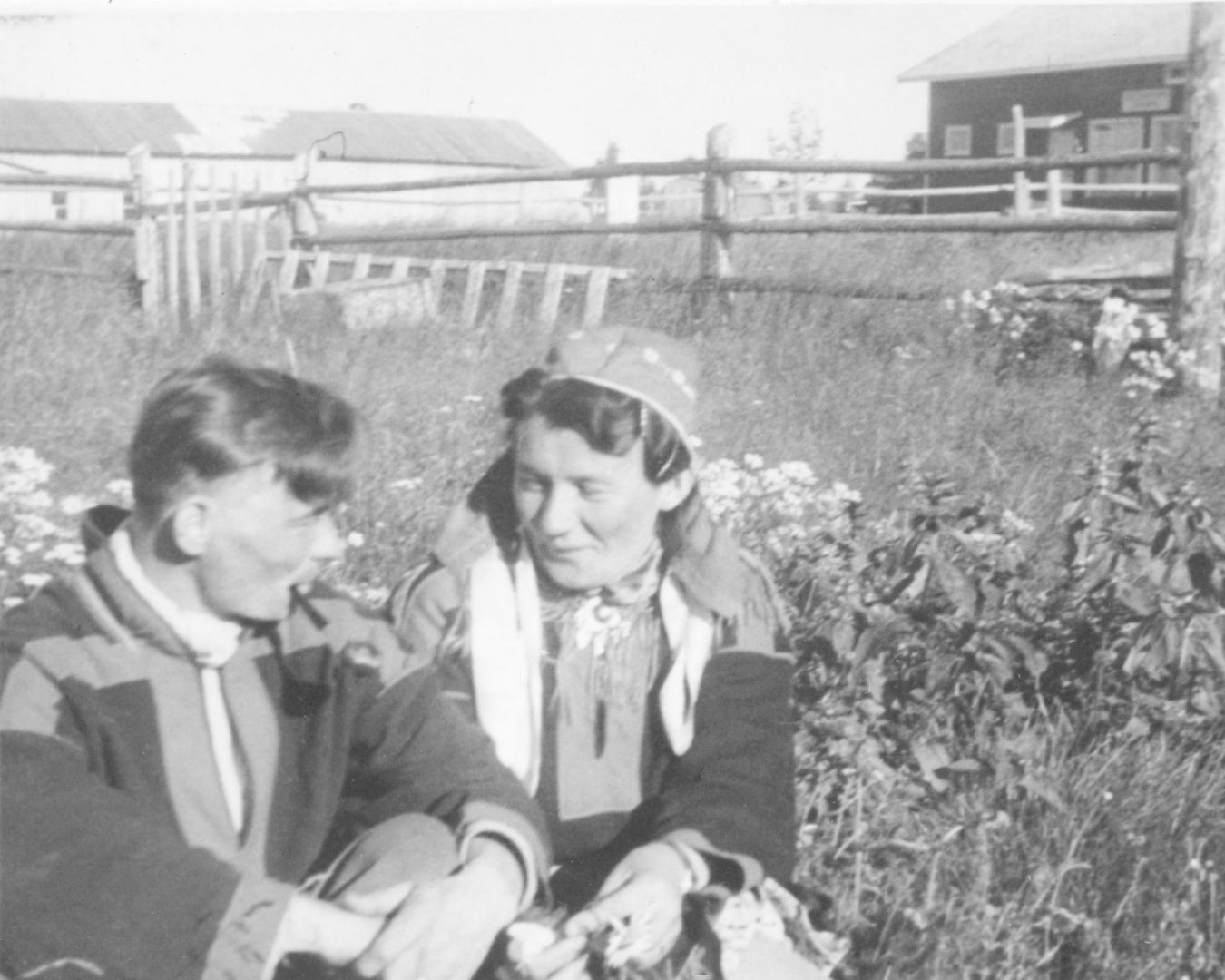
The village of Inari
A municipal decree issued in 1865 separated secular administration from parish decision-making. The municipalities of Inari and Utsjoki were both established on 25 June 1876. The boundaries were largely based on those of earlier parishes and districts, which in turn were rooted in the traditional Sámi village districts. Paul Valle was elected as the first chairperson of Inari’s municipal board, with Isak Mattus chosen as his deputy. The municipal hall and administrative centre were located in the village of Inari.
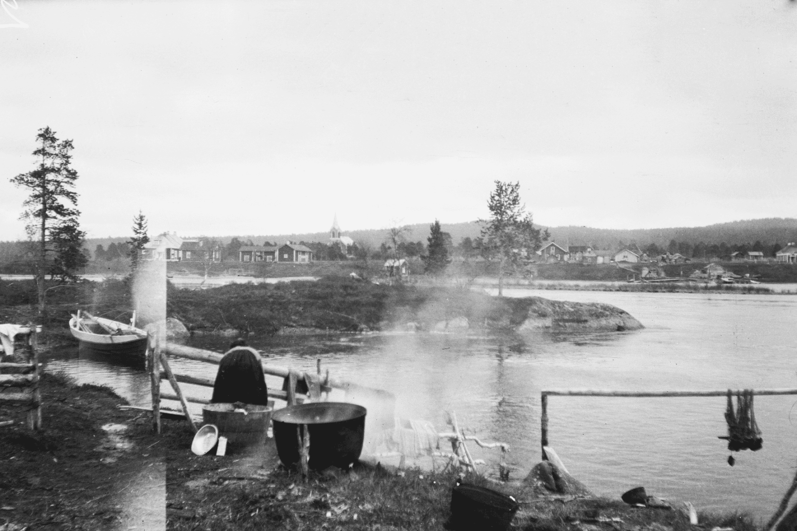
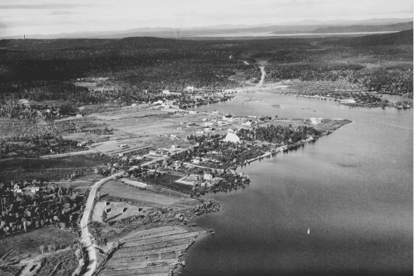
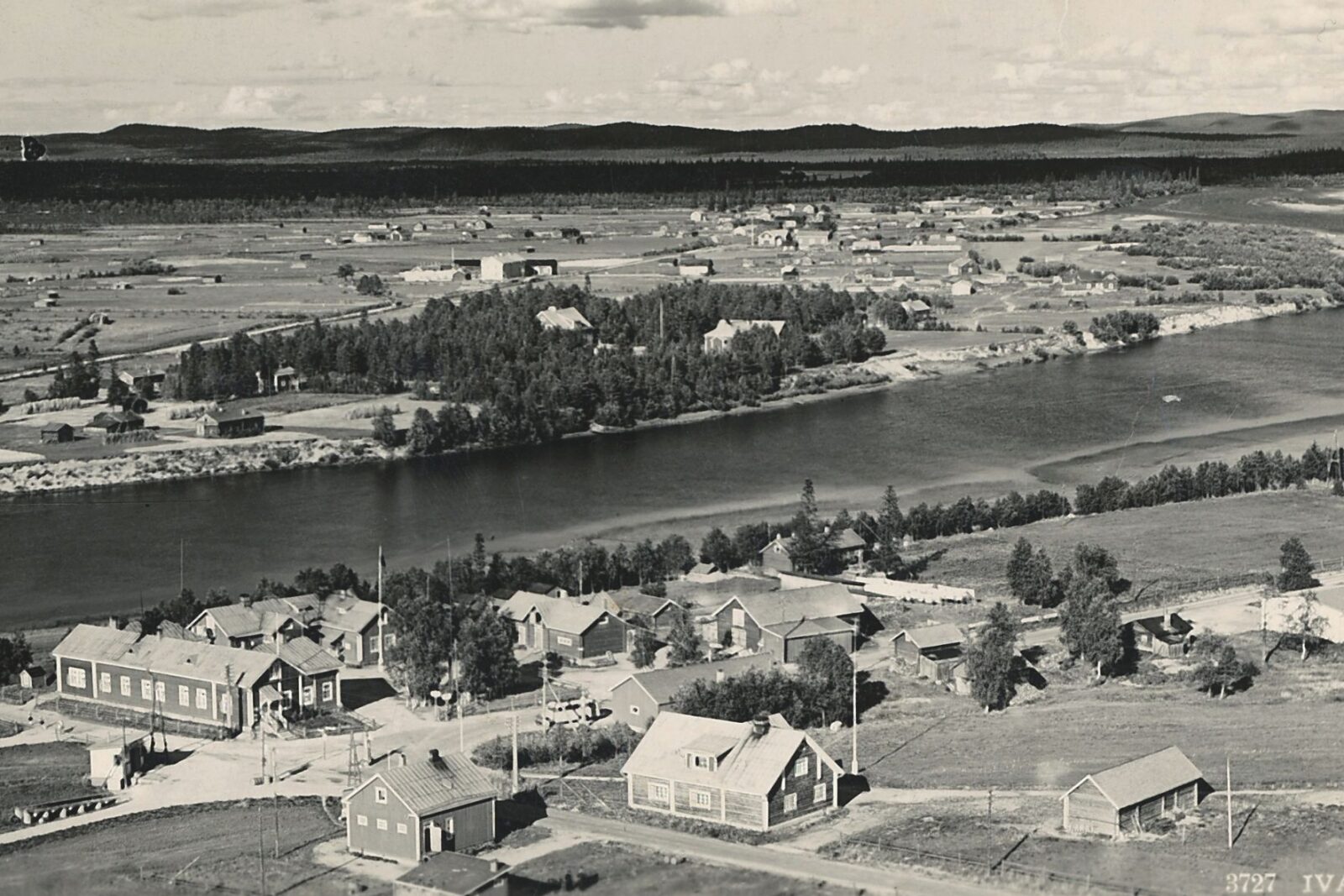
The village centre began to develop from the 1880s onwards at the point where the Juutuajoki River flows into Lake Inarijärvi. As settlement became more permanent, the village church was built at that location and was consecrated in 1895.
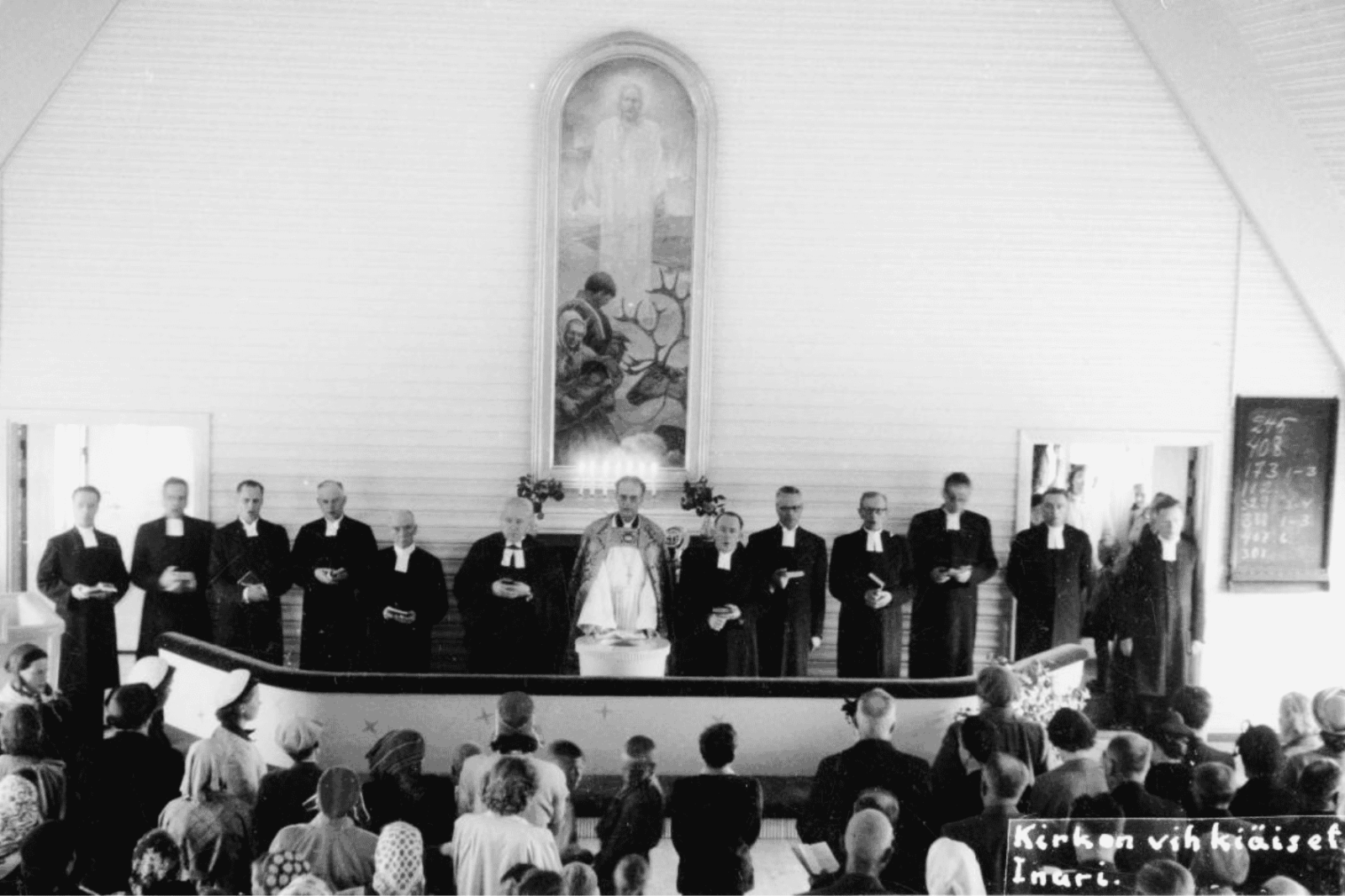
The church was destroyed during the Winter War in 1940 by Soviet aerial bombing. After the war, a new church reflecting Sámi culture was built on the same site with funding provided by American Quakers. The new church features the altarpiece Saamelaisperhe tunturissa (Sámi Family on the Fells), painted in 1937 by Professor Väinö Saikko and rescued from the destroyed church.
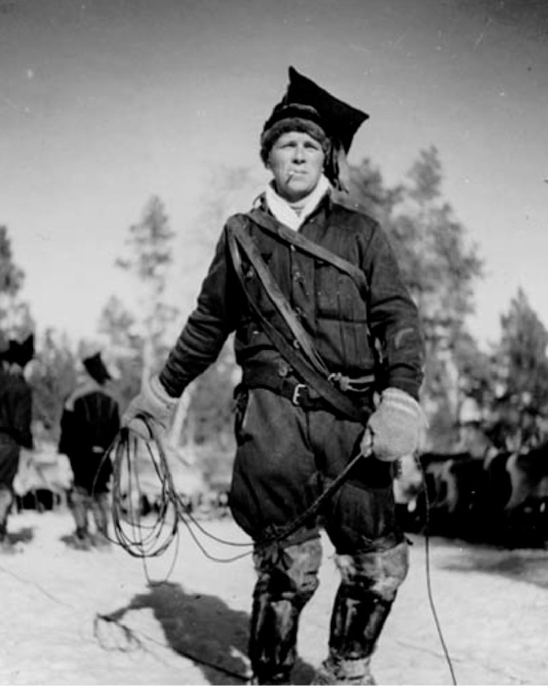
Reindeer husbandry: from hunting to herding
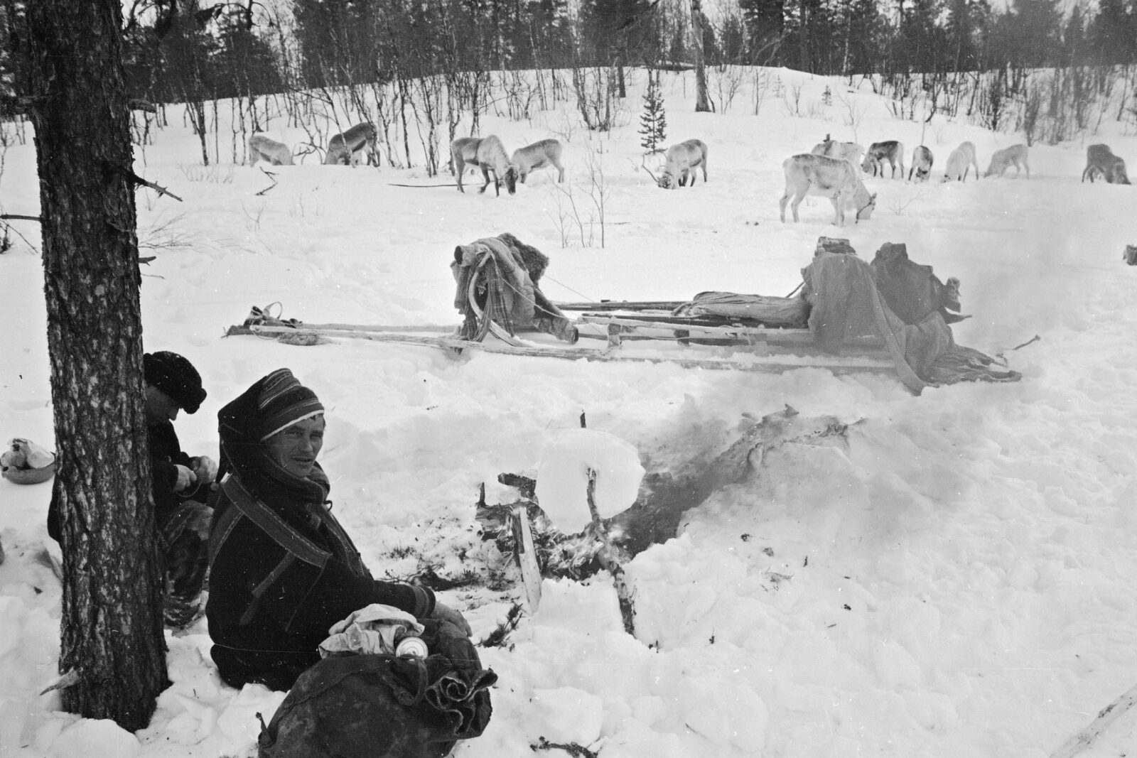
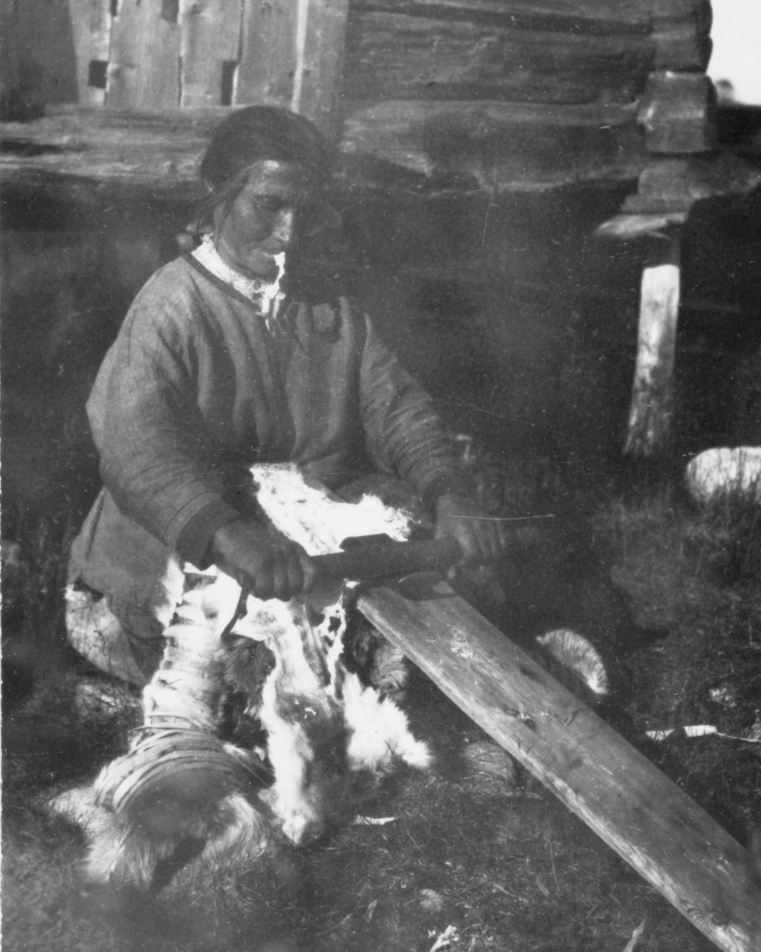
Wild reindeer hunting was the principal livelihood of the people of Inari during the eighteenth century. The livelihood required extensive co-operation, with hunters working together to build drift fences and pitfall traps. As wild reindeer populations declined, people increasingly relied on small-scale reindeer husbandry and fishing, supplemented by cattle and sheep farming.
By the middle of the nineteenth century, there were approximately 2,000 domesticated reindeer in Inari. However, the closure of the border between Finland and Norway in 1852 transformed the livelihood. The arrival of reindeer-herding Sámi made reindeer husbandry the dominant economic activity, and by the turn of the twentieth century the number of reindeer had increased to more than 34,000.
In 1901, the Municipality of Inari adopted its own reindeer husbandry regulations and divided the municipality into five herding co-operatives: Muddusjärvi, Paatsjoki, Ivalo, Kyrö, and Paadar. Each co-operative was assigned a chief herder, who was responsible in practice for its administration and finances.
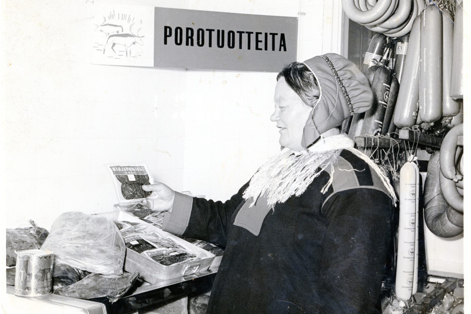
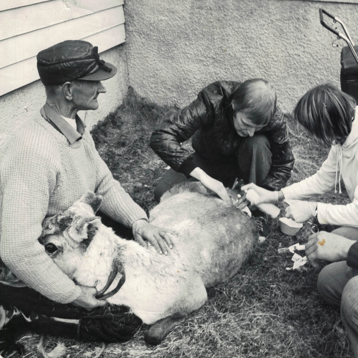
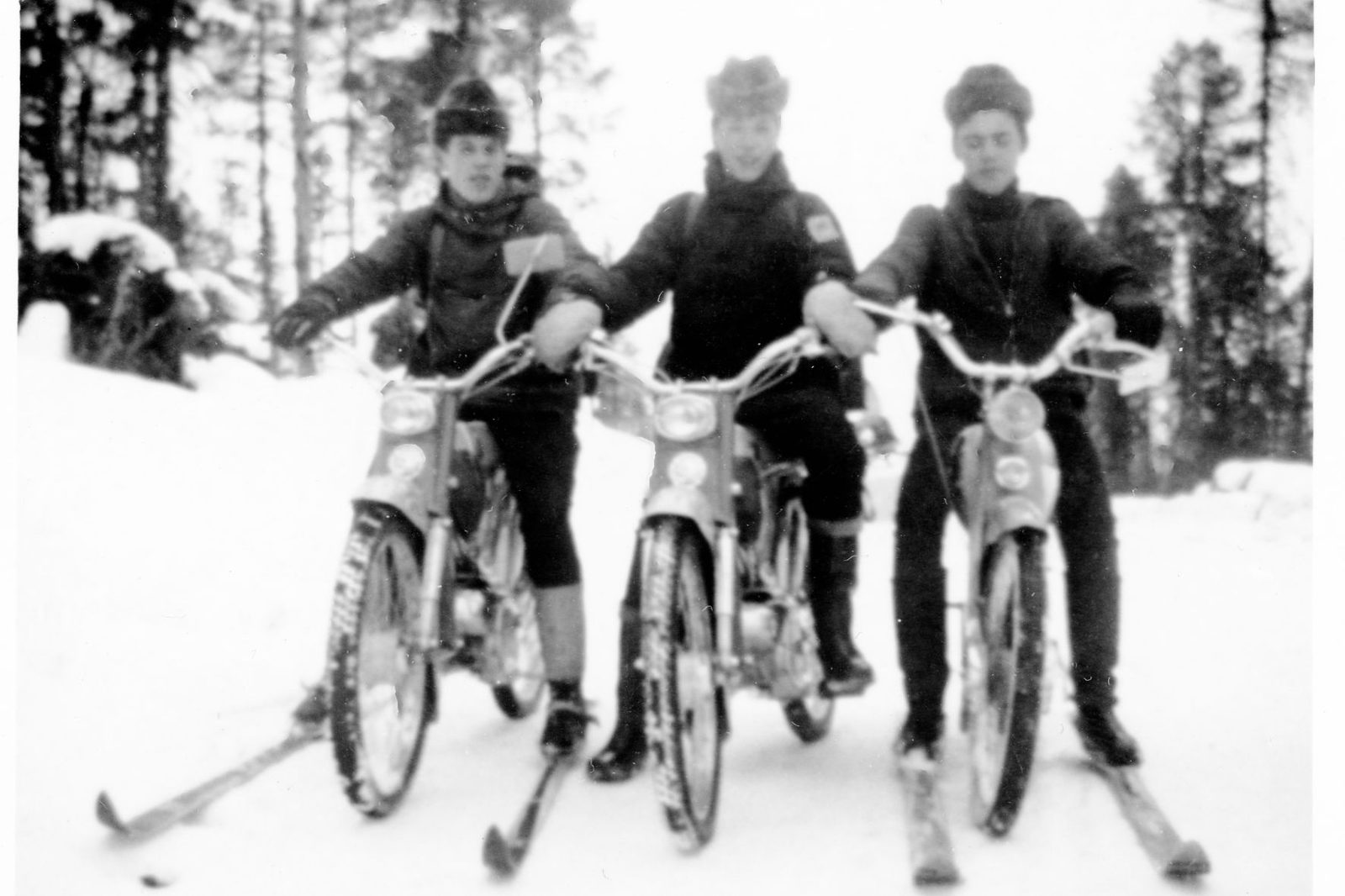
Reindeer husbandry became modernised in the late 1960s with the introduction of snowmobiles. As tourism increased, reindeer-herding families gained additional income from the sale of Sámi handicrafts, and later individual reindeer farms began welcoming visitors.
Inari: touched by global change
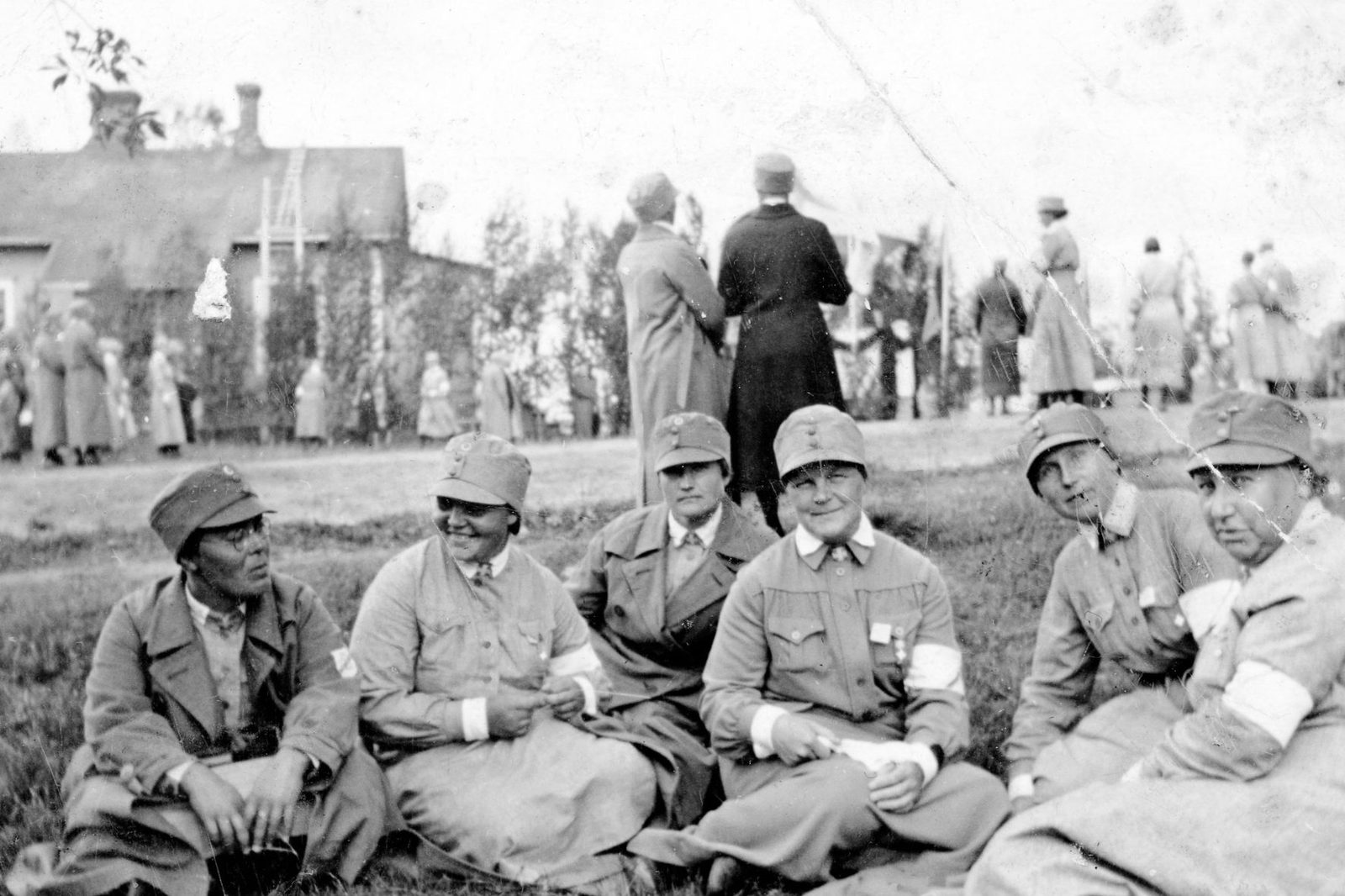
In the aftermath of the First World War, the “Spanish flu” reached Inari in January and February 1920. Within less than a month, the epidemic claimed the lives of approximately ten per cent of the municipality’s population. In a community of around two thousand inhabitants, this meant more than two hundred deaths – an exceptionally high toll for such a small population.
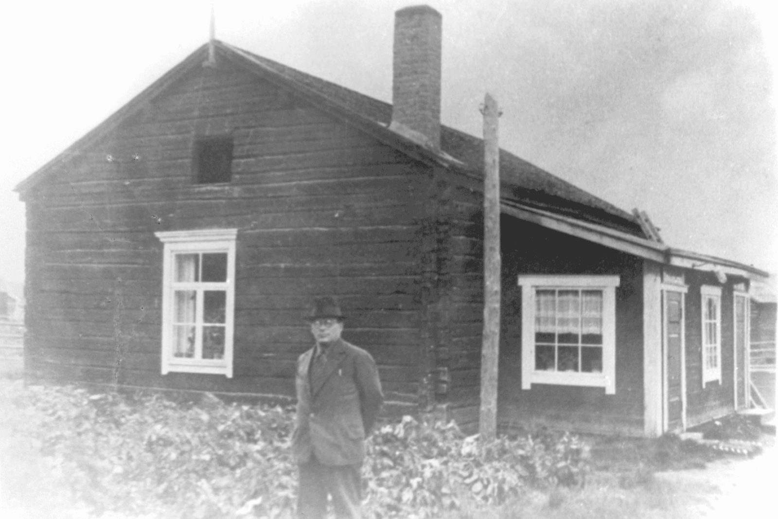
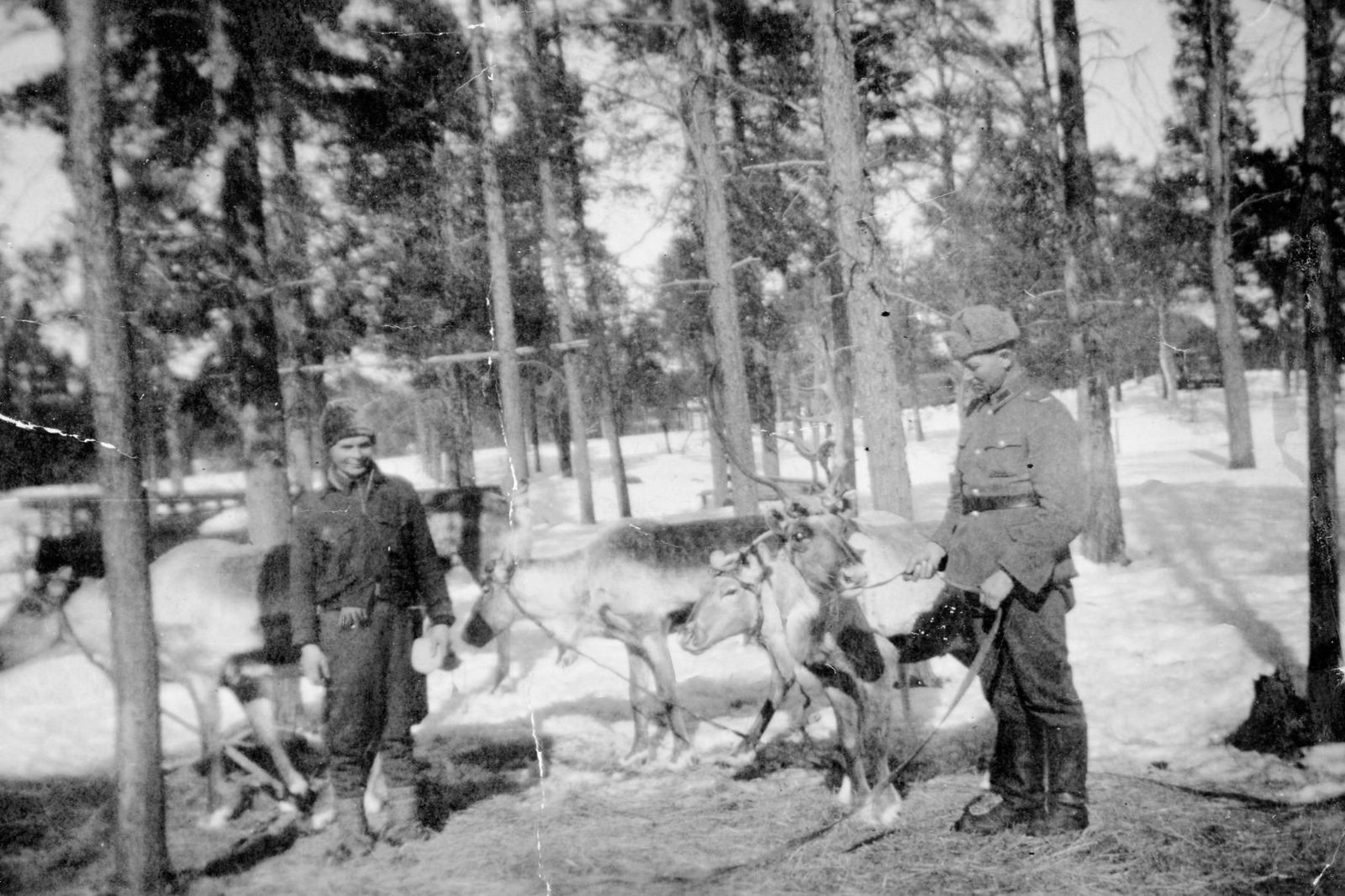
During the Second World War, the inhabitants of the municipality were evacuated, primarily to the Ylivieska area in Northern Ostrobothnia. After the war, the period of reconstruction began. The only structures left standing in the village centre were a fence post erected by pharmacist Eränen and Ranta-Antti’s turf hut.
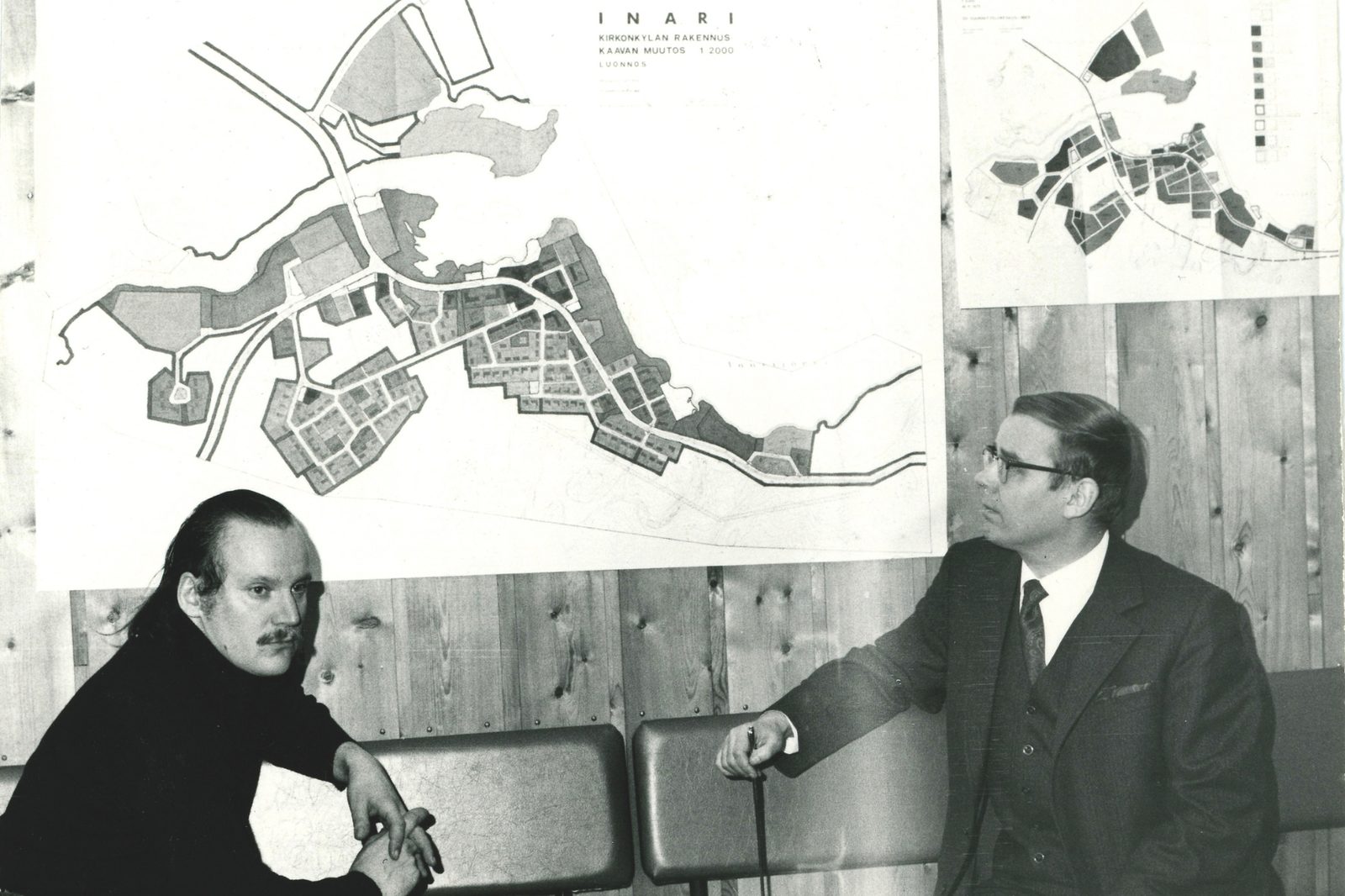
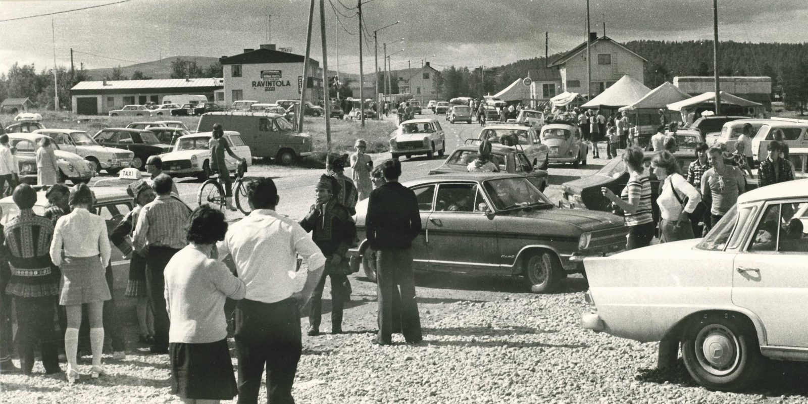
Inari gradually transitioned from traditional ways of life into part of the modern Finnish welfare state. This development was characterised by rapid population growth until the 1960s, the construction of roads and communications networks, electrification, the growth of tourism – particularly in the nearby Saariselkä wilderness area – and major changes in livelihoods.
The development of the welfare state, which brought better healthcare and education, improved both living standards and public services. Yet, the rapid transformation also brought social tensions.
The beginnings of tourism
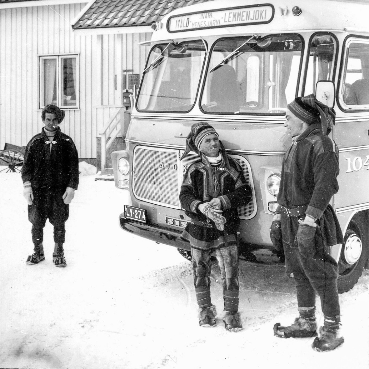
The road linking Inari and Ivalo was completed in 1925. The subsequent completion of the Arctic Ocean Road from Ivalo to Petsamo in the 1930s opened eastern Lapland to tourism. A network of inns and tourist lodges sprung up along the route.
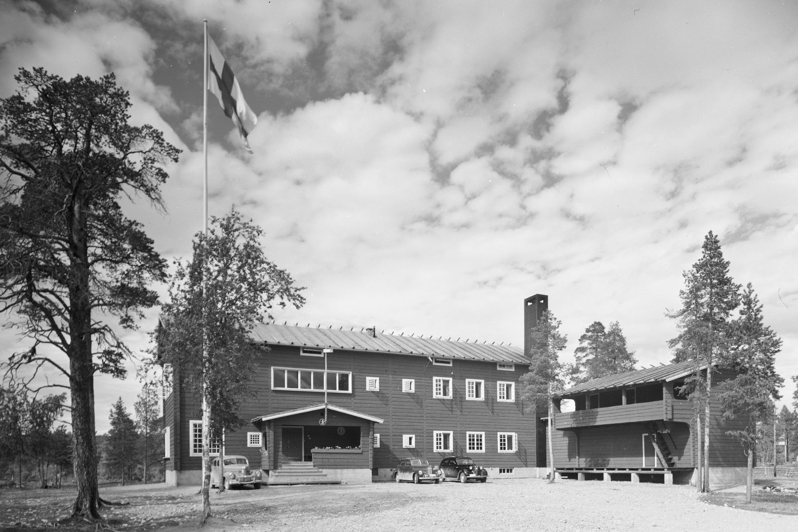
The Finnish Tourist Association opened a lodge in the village of Inari in 1937, but it was destroyed during the Lapland War in 1944. A new lodge was completed on the same site in 1956, by which time the annual number of visitors to Inari had already reached 240,000.
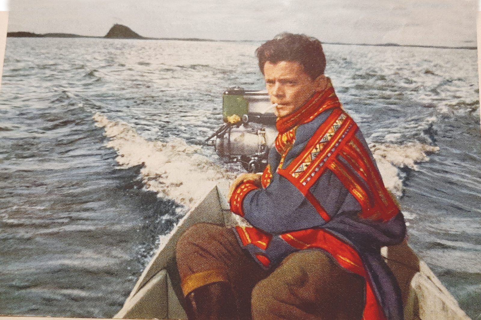
Tourist transport relied on postal routes and private carriers. Postal motorboats, operated for example by Juhani Jomppanen on the Lemmenjoki route and by Posti-Matti (Aikio) on the Sevettijärvi route, were popular means of experiencing ’the authentic life of Lapland firsthand and seeing how demanding life is beyond the boundless wilderness’.
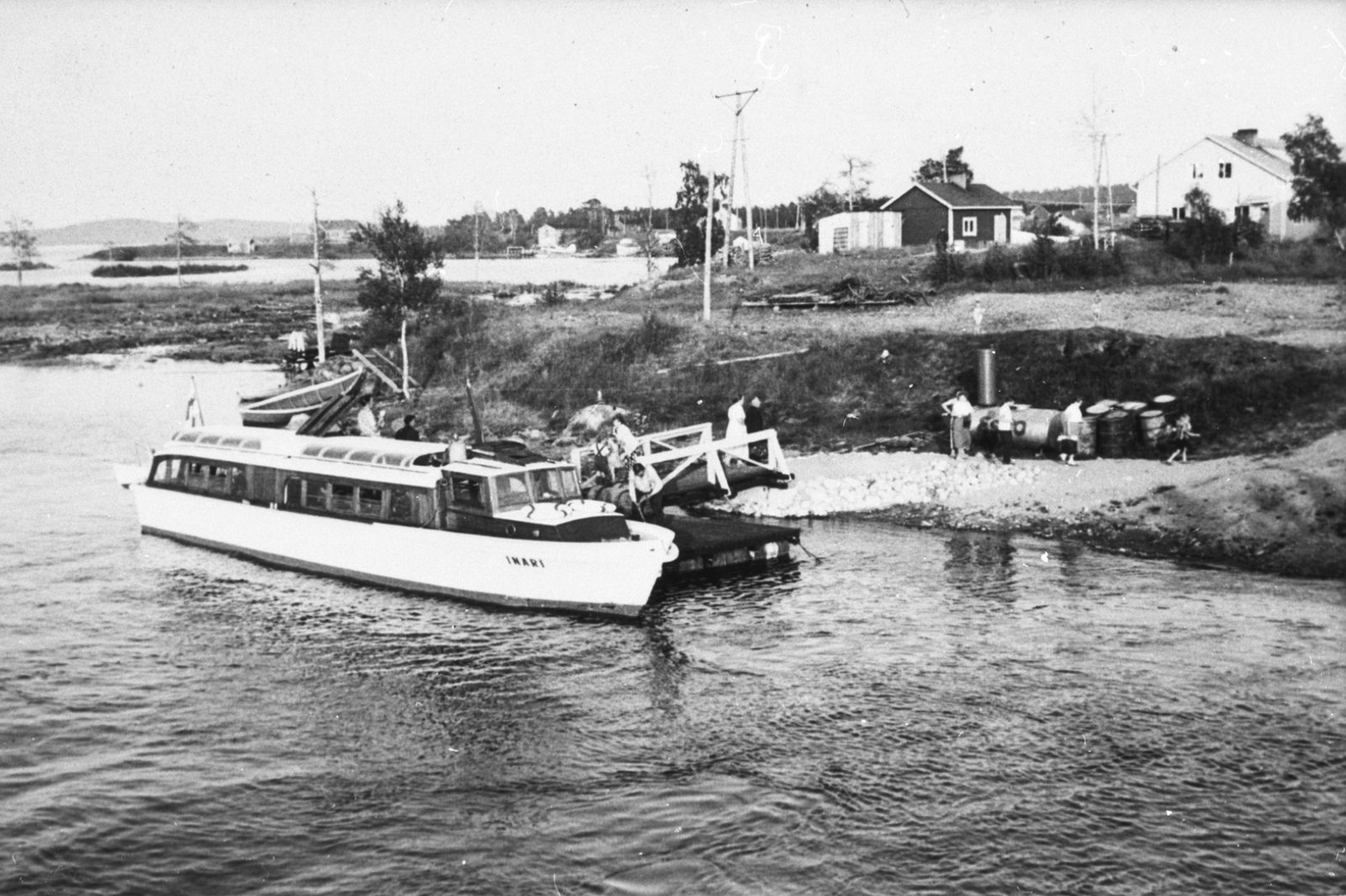
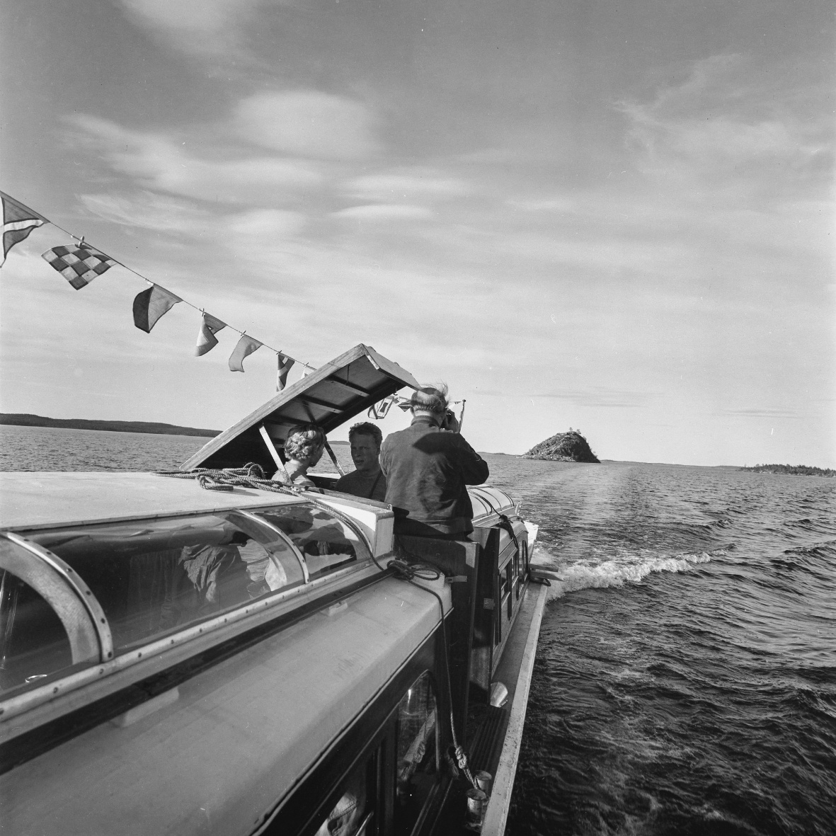
In the late 1950s, the ’Sunshine Boat’, m/s Inari, operated sightseeing cruises on Lake Inari.
Although Ivalo’s population was eight times larger than that of the village of Inari, in the 1960s it had far less accommodation to offer.
In 1964, the magazine Suomen Matkailu listed the Kaunispää lodges, Karhunpesäkivi, Ukonsaari Island, the gold-panning areas of Lemmenjoki, and the Sámi Museum of Inari among the region’s principal cultural attractions.


Lake Inarijärvi – The sea of Sápmi
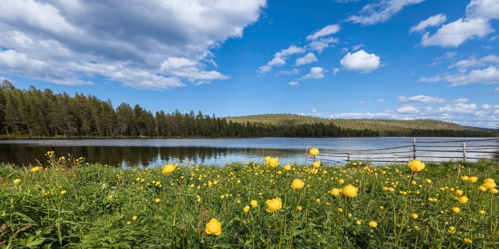
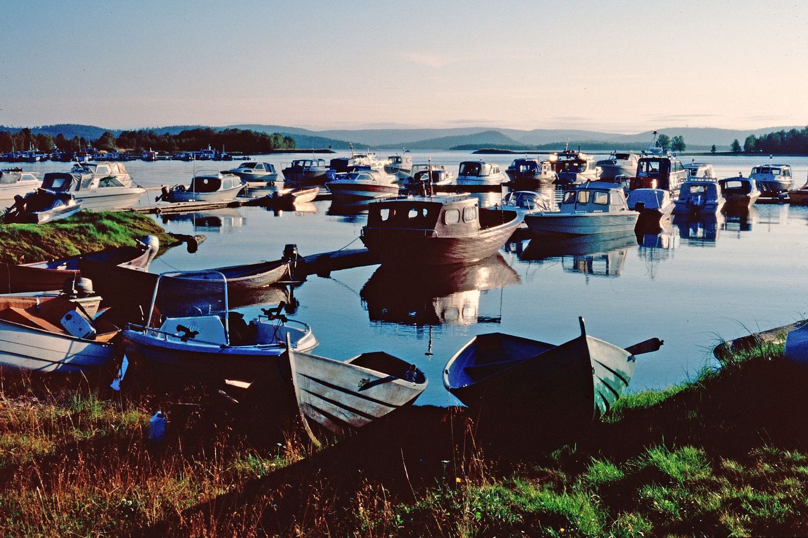
Rugged and beautiful Lake Inarijärvi, often referred to as the Sea of Sápmi, is a basin lake shaped by Ice Age glaciers. When the continental ice sheet had retreated – some 9,000 years ago – Lake Inarijärvi still had an open connection to the Arctic Ocean. Today, its waters flow through the Paatsjoki River into the Varanger Fjord of the Barents Sea.
Lake Inarijärvi is Finland’s third-largest lake (1,043 km²), with a maximum depth of more than 90 metres. It is renowned for its exceptionally clean and clear water and its more than 3,300 islands.
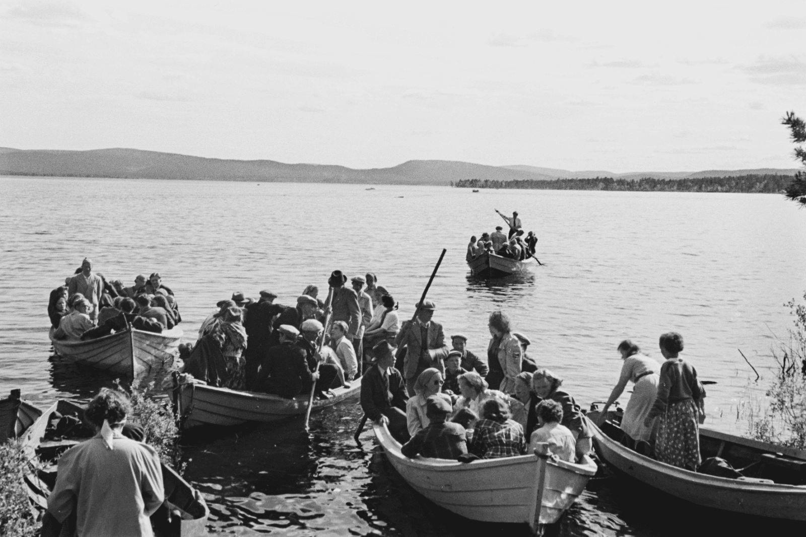
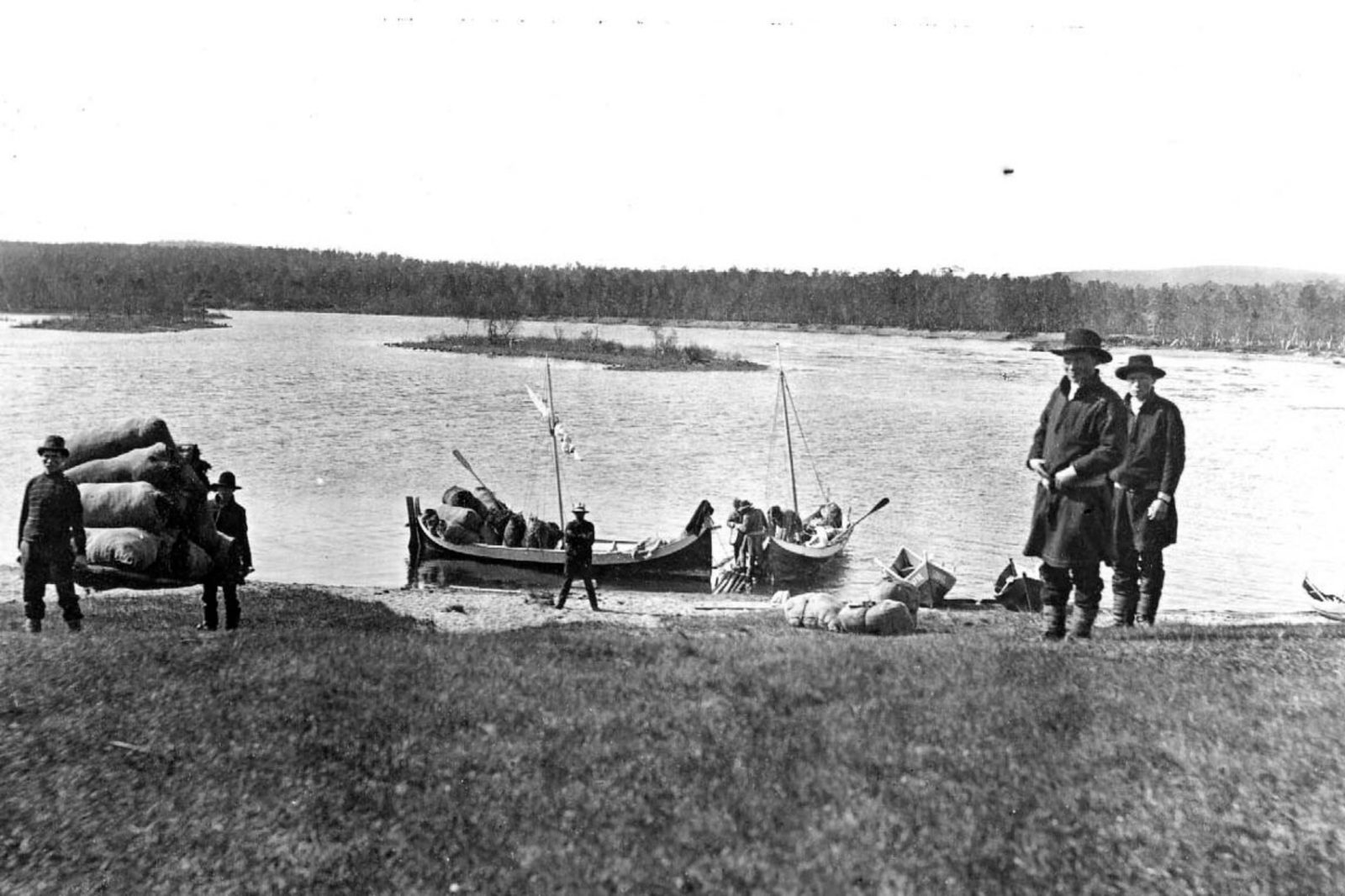
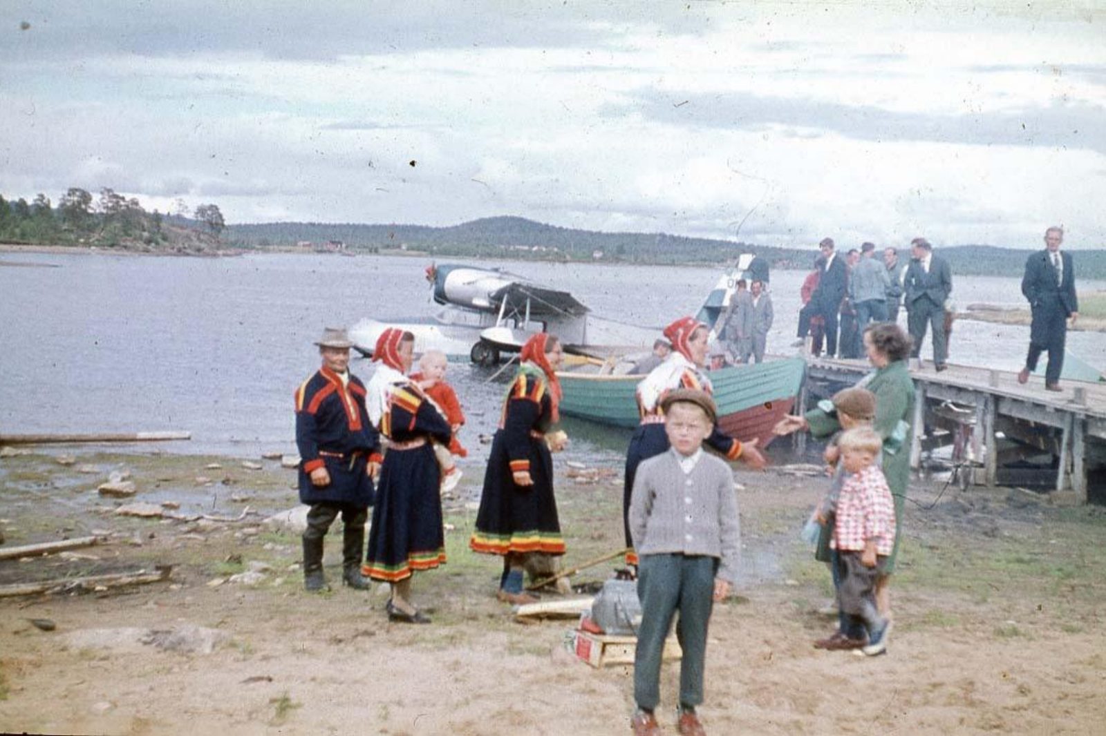
For centuries, Lake Inarijärvi served as the principal transportation route between villages. Sámi people travelled across it to fishing grounds, trading destinations, and routes leading towards the Arctic Ocean – by boat in summer and across the ice by reindeer and skis in winter..
Until the 1990s, the postal boat functioned as the ’lifeline’ of Lake Inarijärvi, transporting not only mail but also passengers and goods to remote settlements.
Ukko, or Äijih, is a sacred Sámi site located on an island in Ukonselkä, a large open-water area of Lake Inarijärvi. Nearby are Old Cemetery Island and Cemetery Island.

Fishing on Lake Inarijärvi
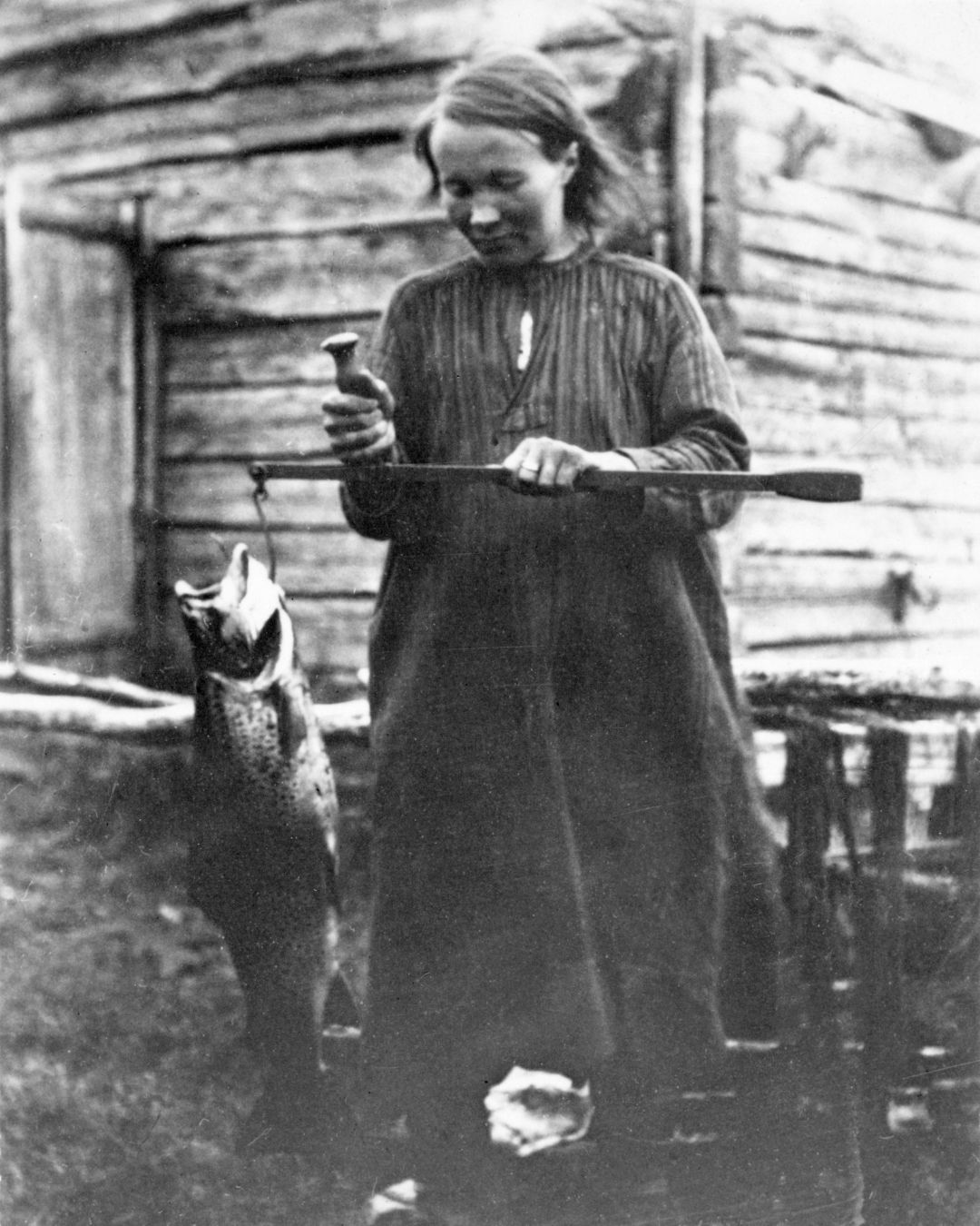
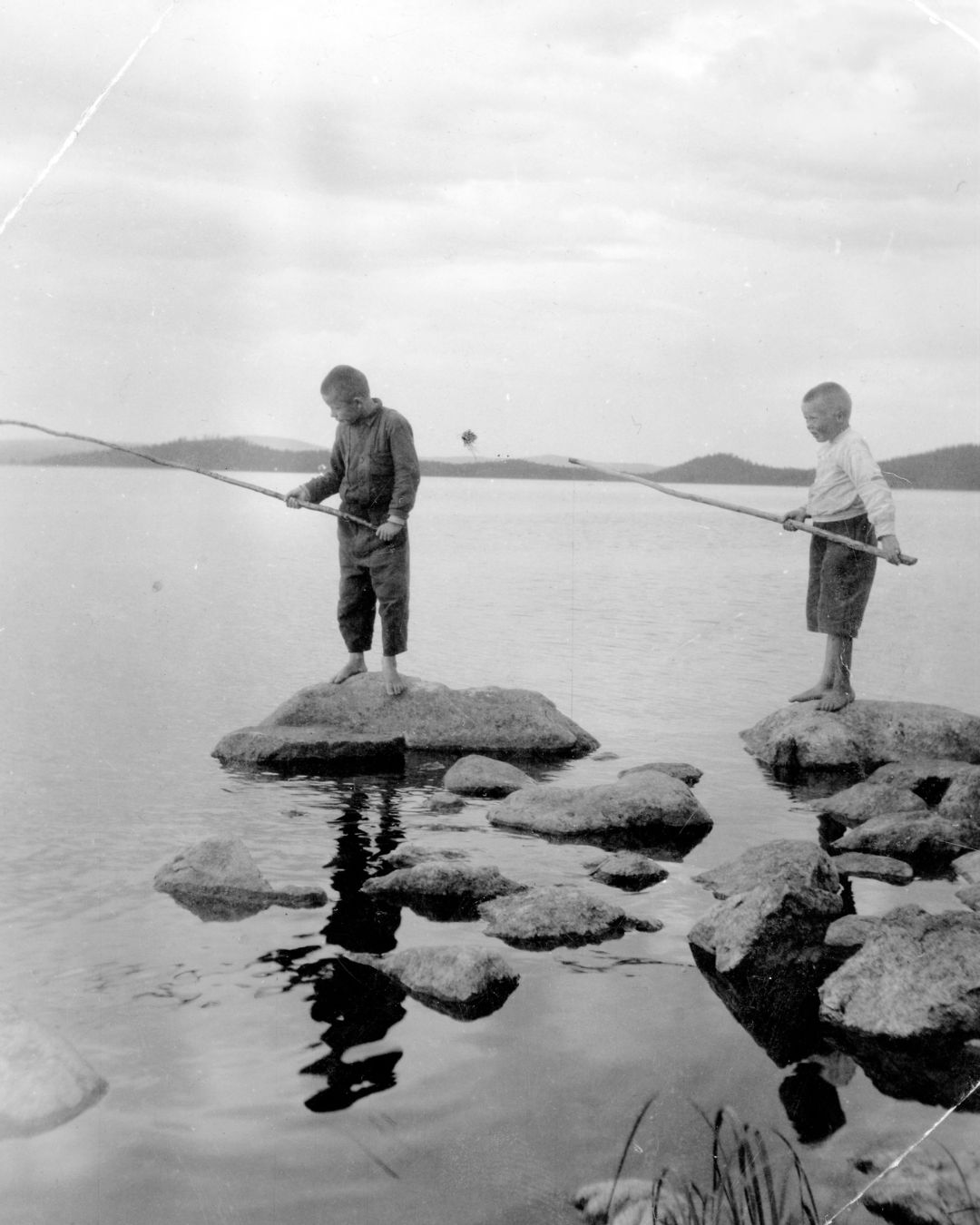
The waters of the Lake Inarijärvi fisheries region contain only ten indigenous fish species: perch, grayling, northern pike, burbot, three-spined stickleback, ten-spined stickleback, minnow, arctic char, brown trout, and whitefish in its various forms, including the dwarf whitefish varieties reeska and rääpys.
The limited number of species results from the climate, post-glacial barriers to dispersal, and the nutrient-poor nature of the waters. Maintaining viable fish populations forms the basis of fisheries management. Vendace was introduced into the watershed in the 1960s, followed by landlocked salmon and lake trout in the 1970s.
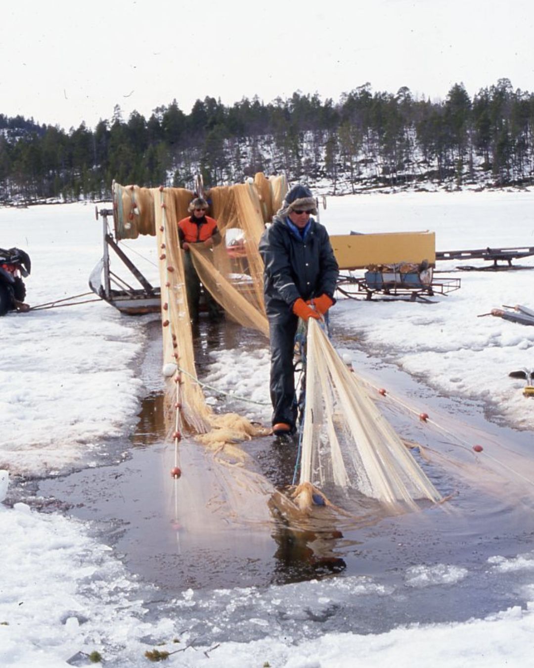
For centuries, fishing was one of Inari’s most important livelihoods. The harvest of whitefish and other valuable fish species reached its peak in the 1930s and 1980s. More intensive fishing methods subsequently weakened fish stocks. The first closed fishing seasons were introduced as early as 1859, and additional fishing regulations were issued in the 1860s. Commercial vendace fishing began in the 1980s, as did the use of large trap nets, particularly for catching whitefish.
Regulation of the water level of Lake Inarijärvi began in 1941 and continues today under a treaty signed in 1959 between Finland, Norway, and the Soviet Union. Significant fluctuations in water levels have complicated fishing operations, one problem being drifting timber.
As a consequence of the impacts caused by hydropower development and water-level regulation in the Paatsjoki watershed, compensatory fish stocking and fisheries monitoring were introduced in 1976. These measures significantly expanded fish farming and stocking activities in the region.
World war II in Inari
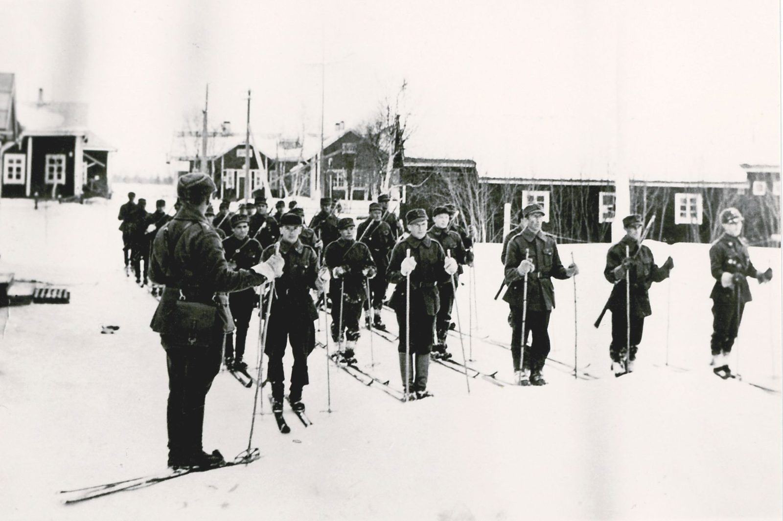
During the Second World War, Lapland was a major theatre of operations for clashes between German and Soviet forces. Ivalo became an important logistics and transportation hub, providing support not only for German forces but also for Finnish units such as Separate Detachment Pennanen, known as ‘Lutto’s Men’ (Luton miehet). Under German direction, roads, bridges, telephone lines, and airfields were constructed in the Inari region, including airports at Ivalo and Kaamanen. Much of this work was carried out using prisoners of war, and several prison and labour camps operated in the area. In 1943, road traffic and work site compounds became targets of Soviet partisan attacks. The most well-known attack took place in Laanila, where Bishop Wallinmaa was among those who lost their lives.
In the autumn of 1944, Finland concluded an armistice with the Soviet Union, one condition of which was to expel the German forces. This marked the outbreak of the Lapland War, with former brothers-in-arms, the Finns and Germans, becoming adversaries. As German forces retreated northwards towards Norway, they systematically mined the province and, adopting a scorched-earth policy, destroyed buildings, bridges, and infrastructure. In Inari, approximately 90 per cent of all buildings were destroyed.
To increase pressure on the Finns to expel the German forces, Soviet troops moved into Finnish territory after the armistice. Finnish forces moving northwards encountered Soviet troops at Kerttuoja in Ivalo. Soviet forces did not withdraw from eastern Inari until September 1945. The terms of the Moscow Armistice signed on 19 September 1944 required Finland to cede the Petsamo region to the Soviet Union. This loss altered the position and development of northern Lapland. After the war, Inari embarked on extensive reconstruction and efforts to resettle evacuees from Petsamo as well as the Skolt Sámi.

Ivalo Village
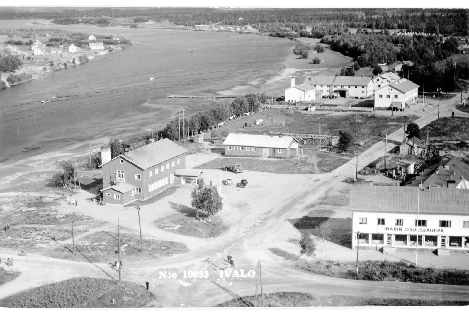
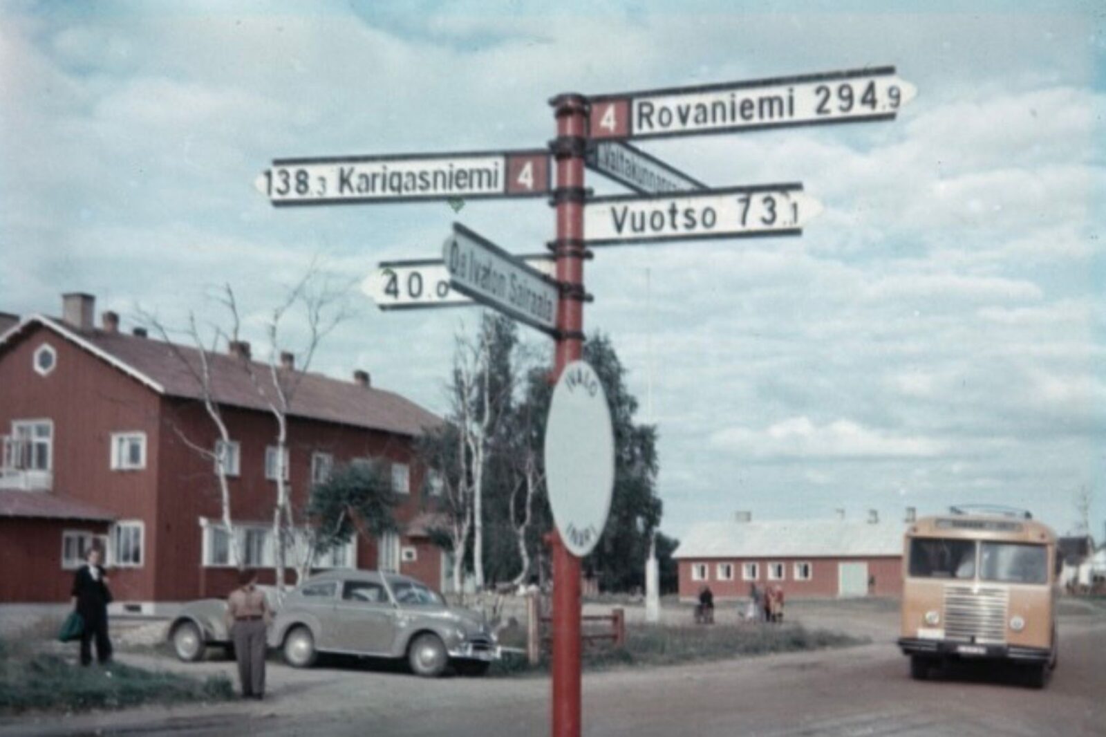
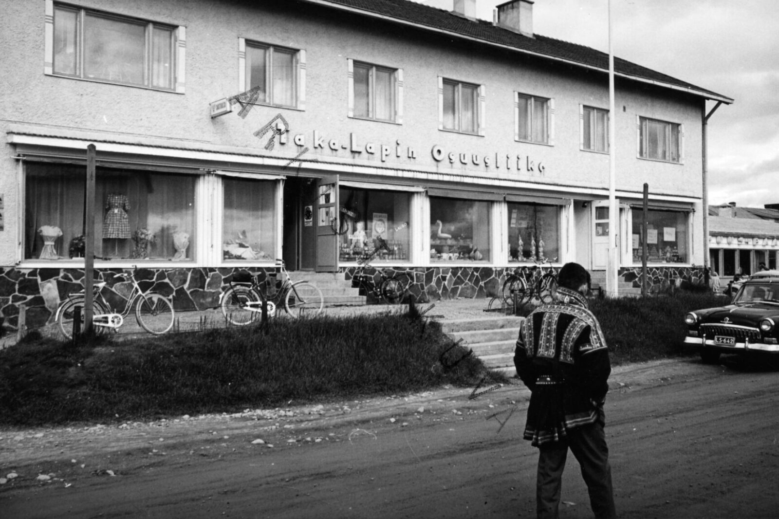
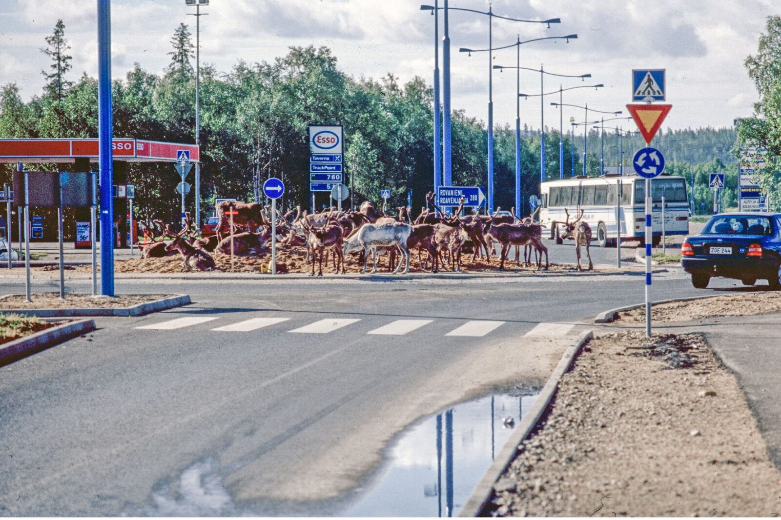
The Development of Ivalo’s Village.
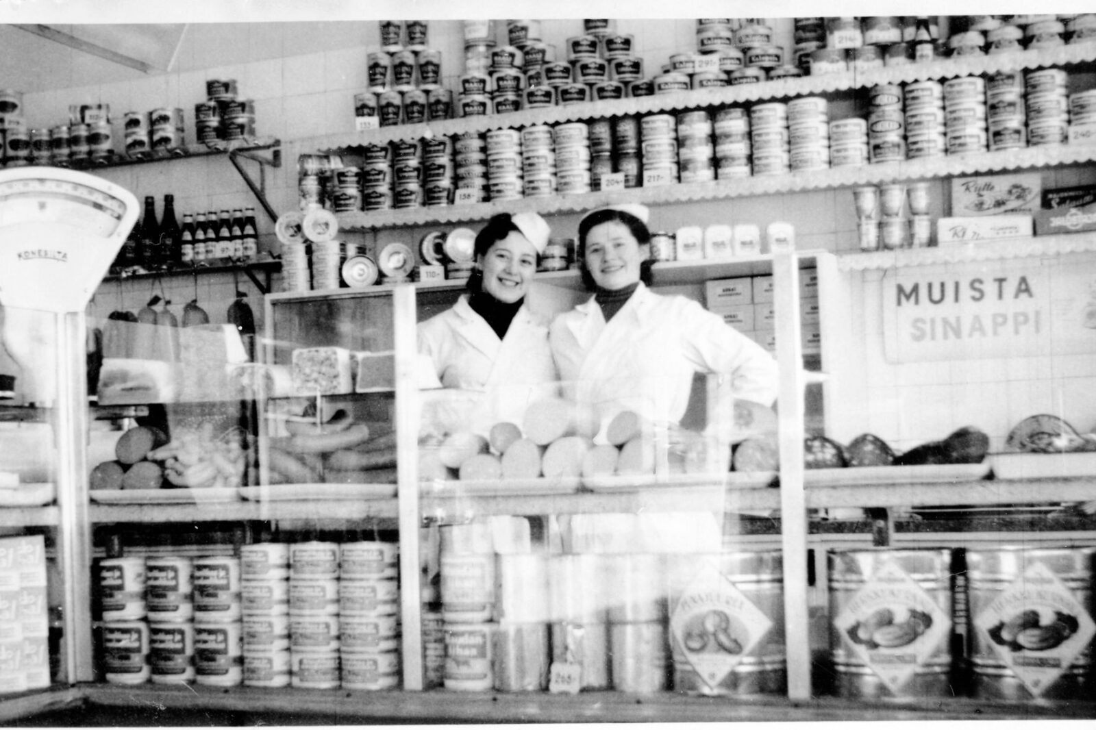
Road connections
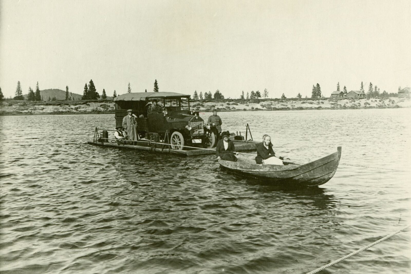
Until the late nineteenth century, trails and waterways leading to the Arctic Ocean were the principal routes used for trade and fishing.
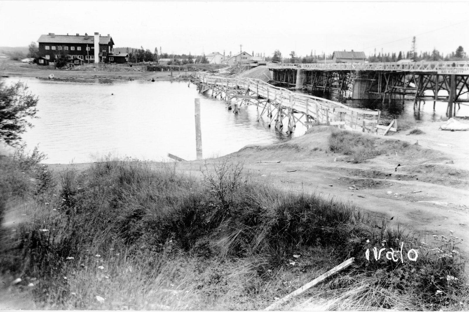
Construction of the Petsamo Road began in 1916. The road was improved in stages during the 1920s and completed in the 1930s. Upon completion, it transformed Ivalo into the commercial centre of the region and significantly increased transportation and trade. Expanding forestry operations further boosted transport volumes, while timber was processed at sawmills in Petsamo, Inari, Ivalo, and Nellim.
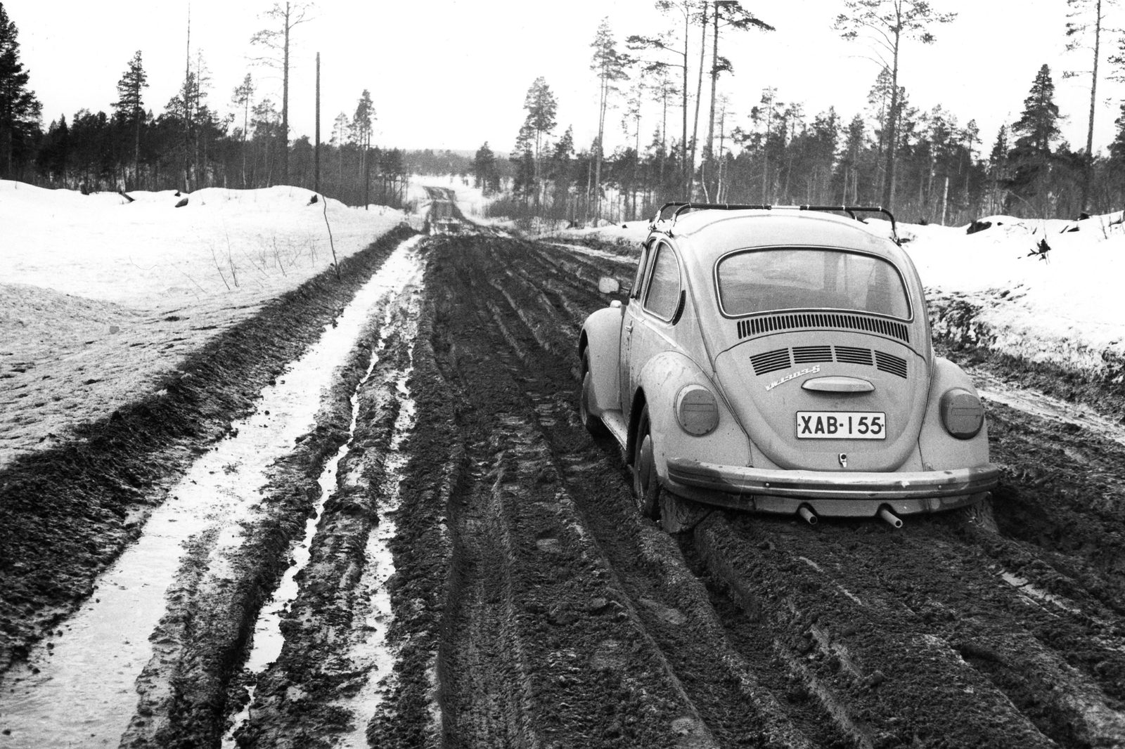
After the war, the roads destroyed throughout Lapland were rebuilt rapidly, and the road network expanded so extensively that by 1965 only the villages of Sevettijärvi and Angeli remained without road access. The Road Act of 1958 transferred responsibility for road maintenance to the state and ensured year-round trafficability. This was made possible through improved equipment, snow fences, and winter maintenance measures such as gritting and salting.
By the 1960s, the road network covered almost the whole of Lapland, and during the 1970s road connections reached the last of the municipality’s isolated villages.
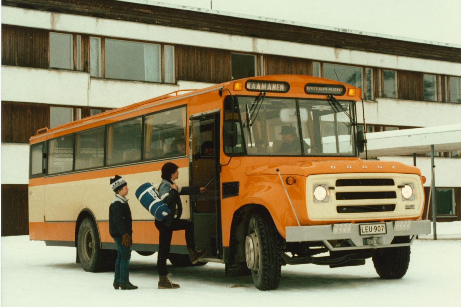
As a result, settlement increasingly concentrated along roadsides, while feeder roads and forest roads were also constructed. The road network enabled regular postal and passenger services, facilitated electrification, and accelerated the adoption of new technologies and means of transport, including snowmobiles and television.
Floods of the Ivalojoki River
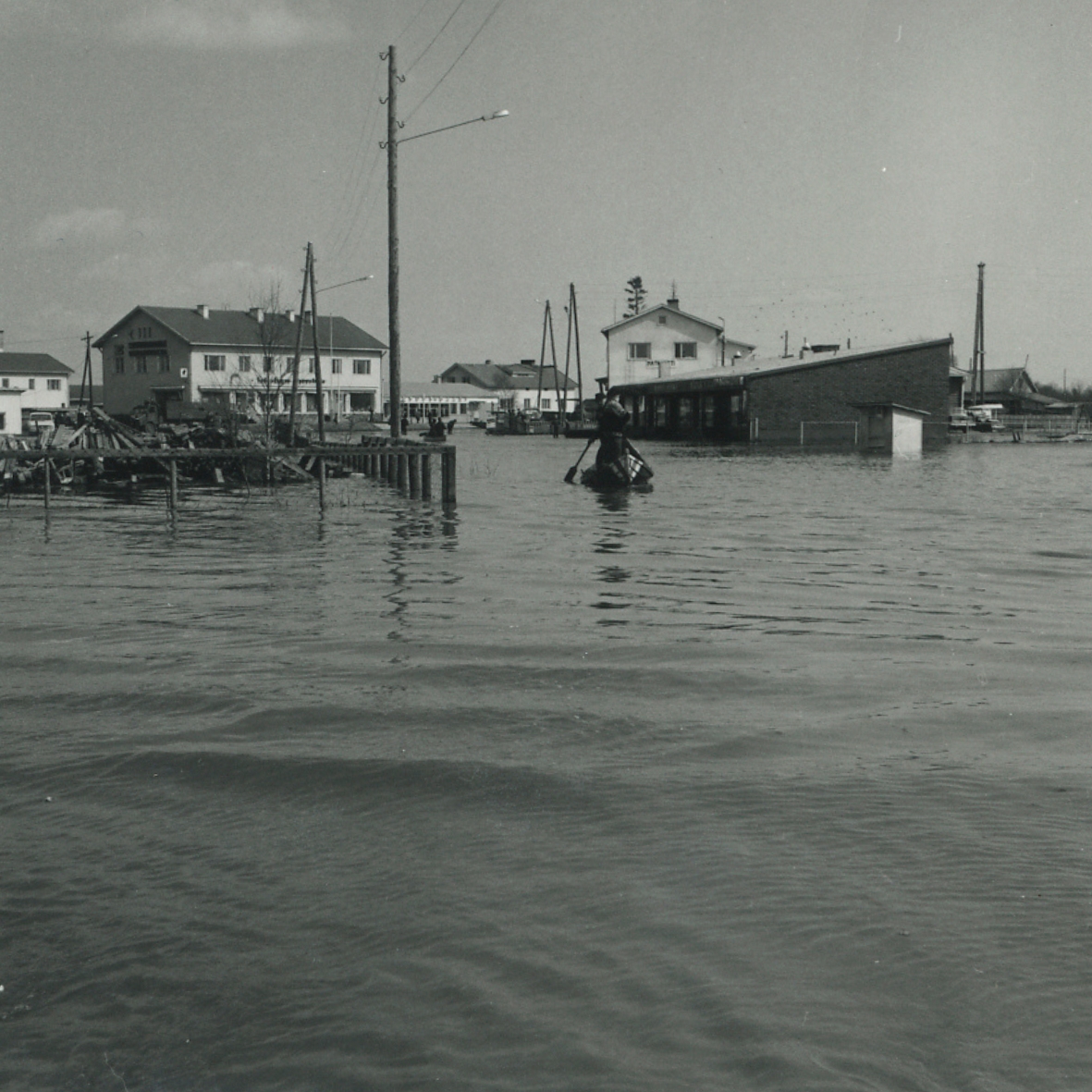
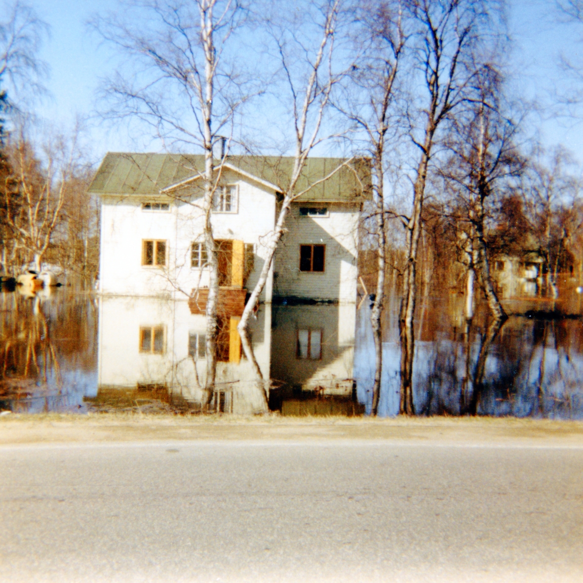
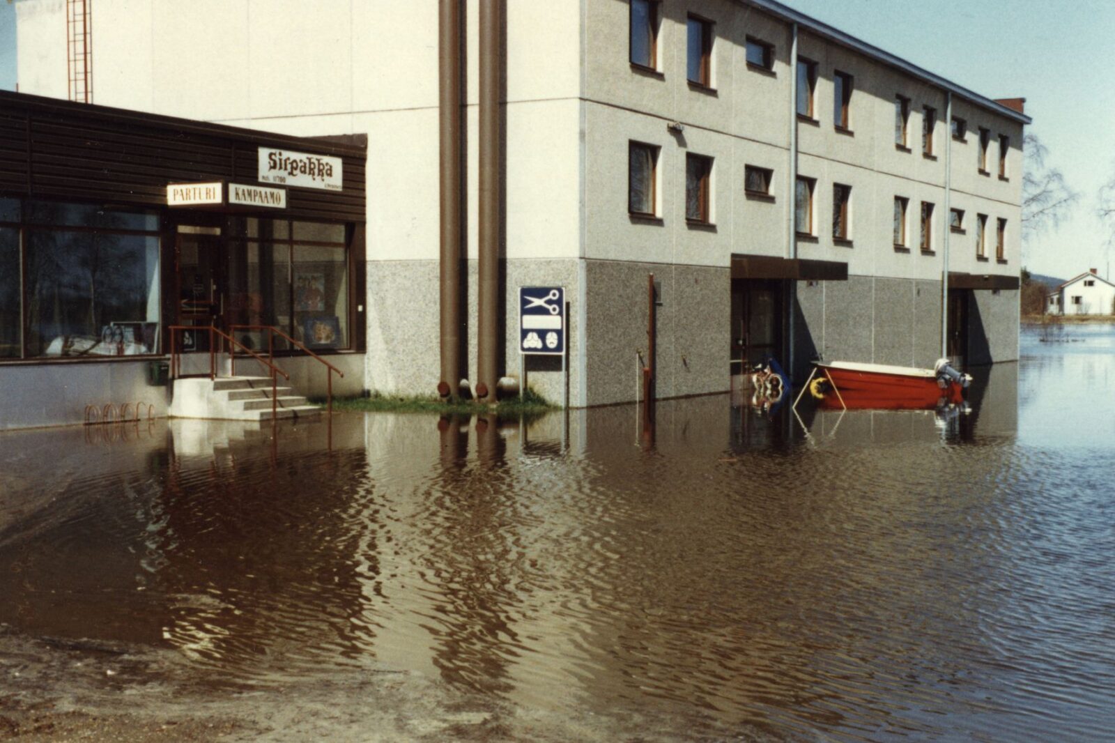
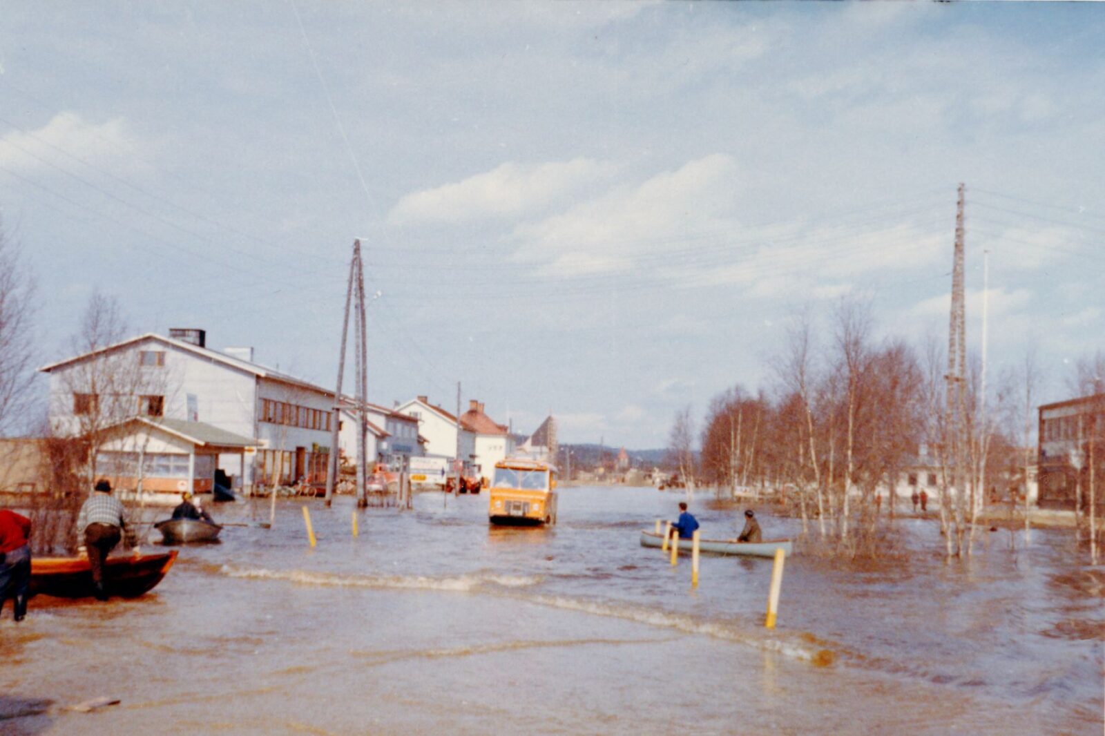
The year 1966 is remembered for the great flood of the Ivalojoki River, which disrupted life in the entire village for a prolonged period. During the flood, the water level rose so high that it topped the scale of the official gauge at the Ivalojoki River bridge. The water level is estimated to have reached as much as three metres above its normal level.
The flood risk of the Ivalojoki River stems from its extensive catchment area, which stretches across the fell highlands from Saariselkä to Hammastunturi, the headwaters of the Kitinen River, and the Korsatunturi area. In spring, snowmelt often occurs simultaneously across this vast region, causing large volumes of water to flow rapidly into the Ivalojoki River canyon and towards the village of Ivalo.
Significant floods have also occurred since 1966. Following the flood of 1981, work began on constructing flood embankments and protective barriers to protect Ivalo, successfully preventing the most severe damage.
Climate change is expected to increase extreme weather events, such as heavy rainfall and rapid thaw periods, which may further increase the risk of floods in Lapland in the future.
The Ivalojoki River
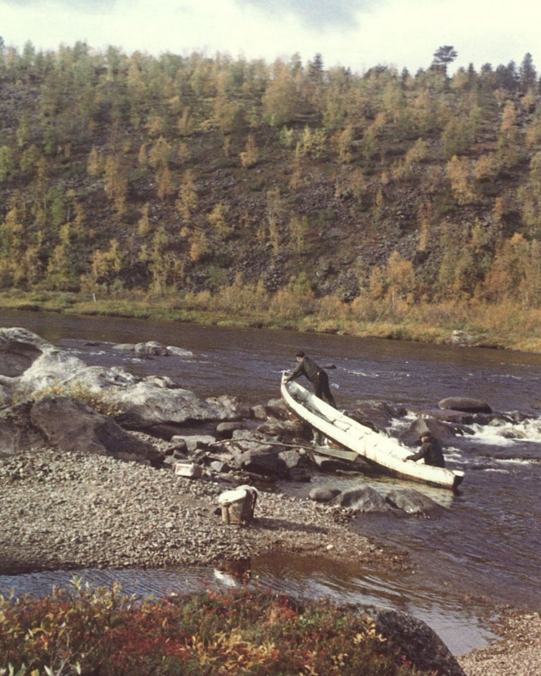
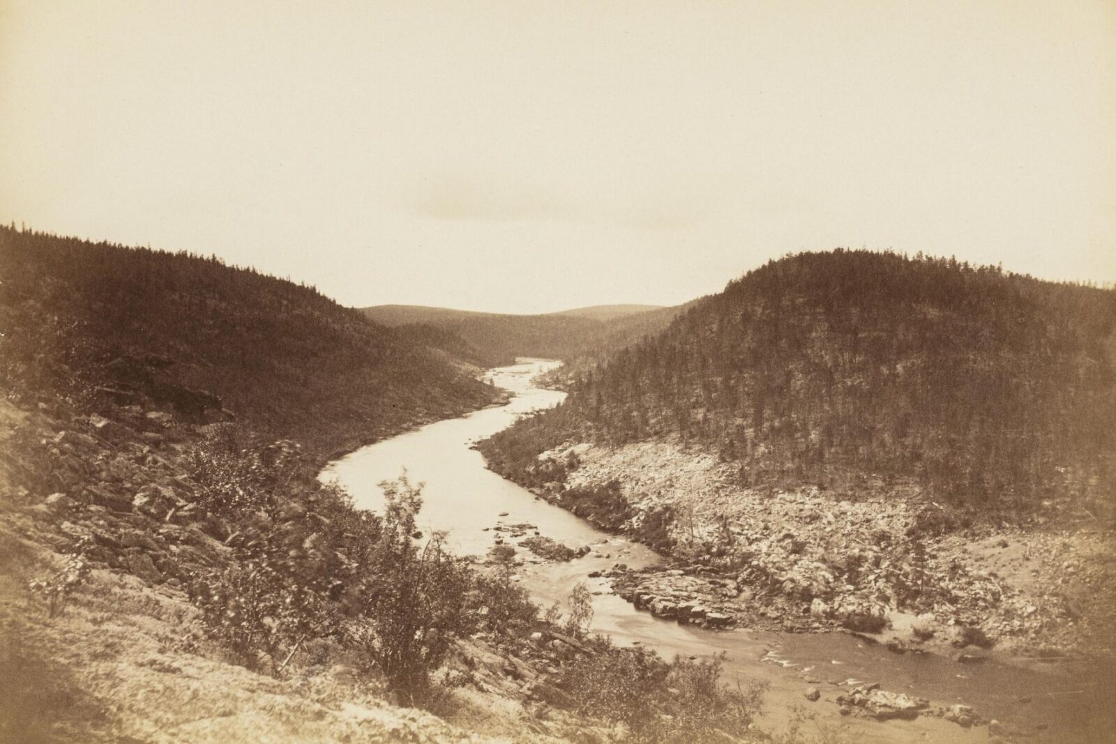
The Ivalojoki River is a waterway nearly 200 kilometres long, flowing from the borderlands of Enontekiö to Lake Inarijärvi, through it, and ultimately into the Arctic Ocean. Since post-glacial times, it has served as an important transportation route and was a key access route during the gold rushes of the 1860s and the early twentieth century to Kultala (“Gold Village”) on the Ivalojoki River.
The lower reaches of the river are sheltered and easy to navigate, as there are no rapids below the village of Huuhkaja that would impede travel. The fertile riverside meadows and floodplains of the valley provided excellent conditions for agriculture and livestock farming.
Several villages developed along the river, including Huuhkaja, Tolonen, Törmänen, Kyrö, Viekkala, Koppelo, and Veskoniemi. Further upstream lies the village of Kuttura.
The history of gold in Inari
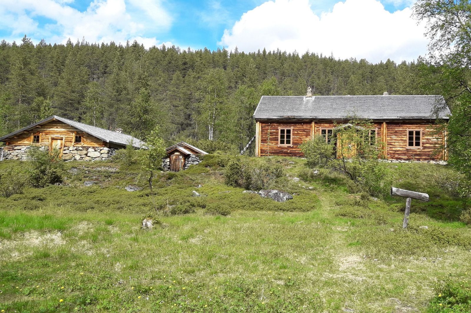
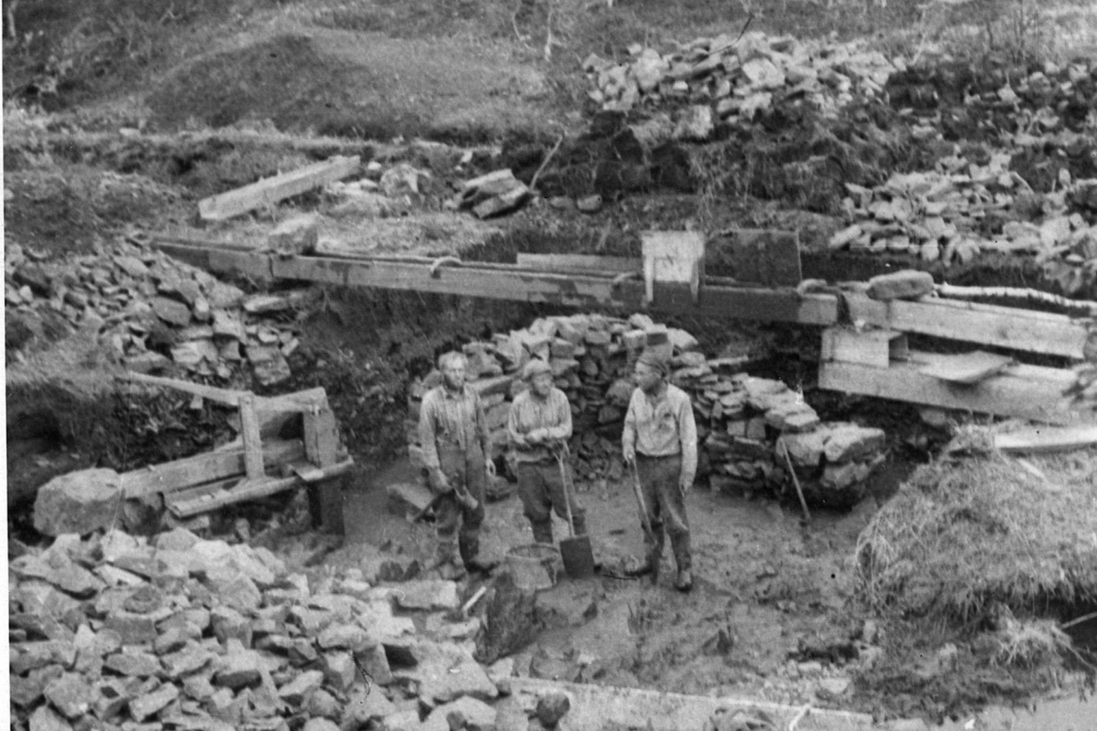
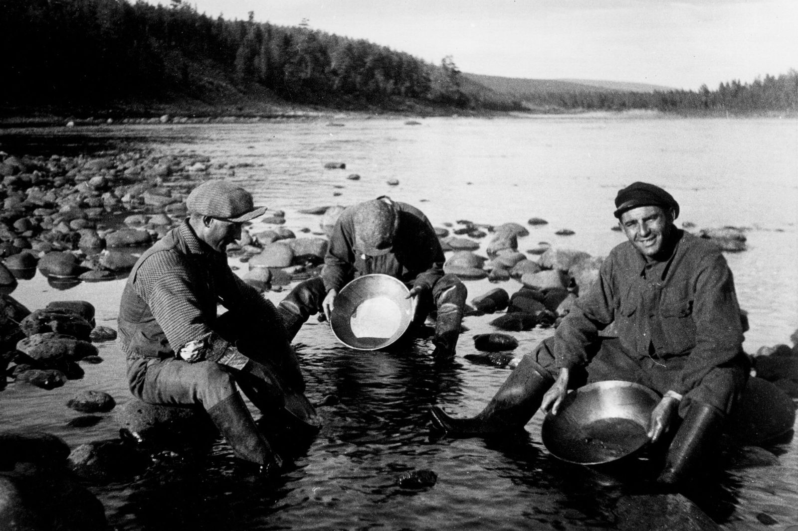
Decades of gold prospecting in the provinces of Lapland and Kuusamo produced no significant discoveries until 1868, when an important find was made at Nulkkamukka on the Ivalojoki River. The gold rush that followed doubled the population of the municipality of Inari, and the areas around Ivalo and Törmänen in particular prospered. The Ivalo gold rush marked the beginning of Lapland’s gold-mining tradition, which remains unique in Europe and continues to this day.
Placer gold has been mined in the Municipality of Inari and in the northern parts of the Municipality of Sodankylä along numerous rivers for more than 150 years. The best-known goldfields are the Ivalojoki–Laanila area, the Lemmenjoki River and its tributaries, and the Tankavaara area. Throughout its history, gold mining in Lapland has involved local residents, prospectors from elsewhere, and mining companies alike.
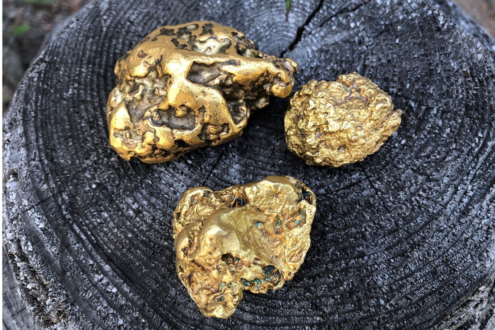
Mining was done using traditional shovel-and-pan methods, mechanised excavation and suction dredging. Gold mining remains an active livelihood, and sizable nuggets continue to be found every summer. Finland’s largest gold nugget is still Evert, a 393-gram nugget discovered at the headwaters of the Luttojoki River in 1935.
Gold mining is not covered by Finland’s public right of access (Everyman’s Rights); it is a licensed activity requiring official permits.
The Municipality of Inari
In 1721, Inari comprised 75 taxable households, representing a population of some 400 inhabitants. In 1917, when Finland became independent, the parish had nearly 2,000 residents. The population reached its peak of approximately 8,000 in 1965 and has since stabilised at around 7,000 inhabitants.
Beginning in the 1920s, Ivalo grew into a commercial centre with the construction of the Arctic Ocean Road. It became the administrative centre of the region in 1938, when municipal chairperson and bank manager Antti Aikio transferred the municipal office from Inari to Ivalo. The first municipal hall was built on Sairaalantie in 1949, while the present red-brick municipal building on Piiskuntie was completed in 1981.
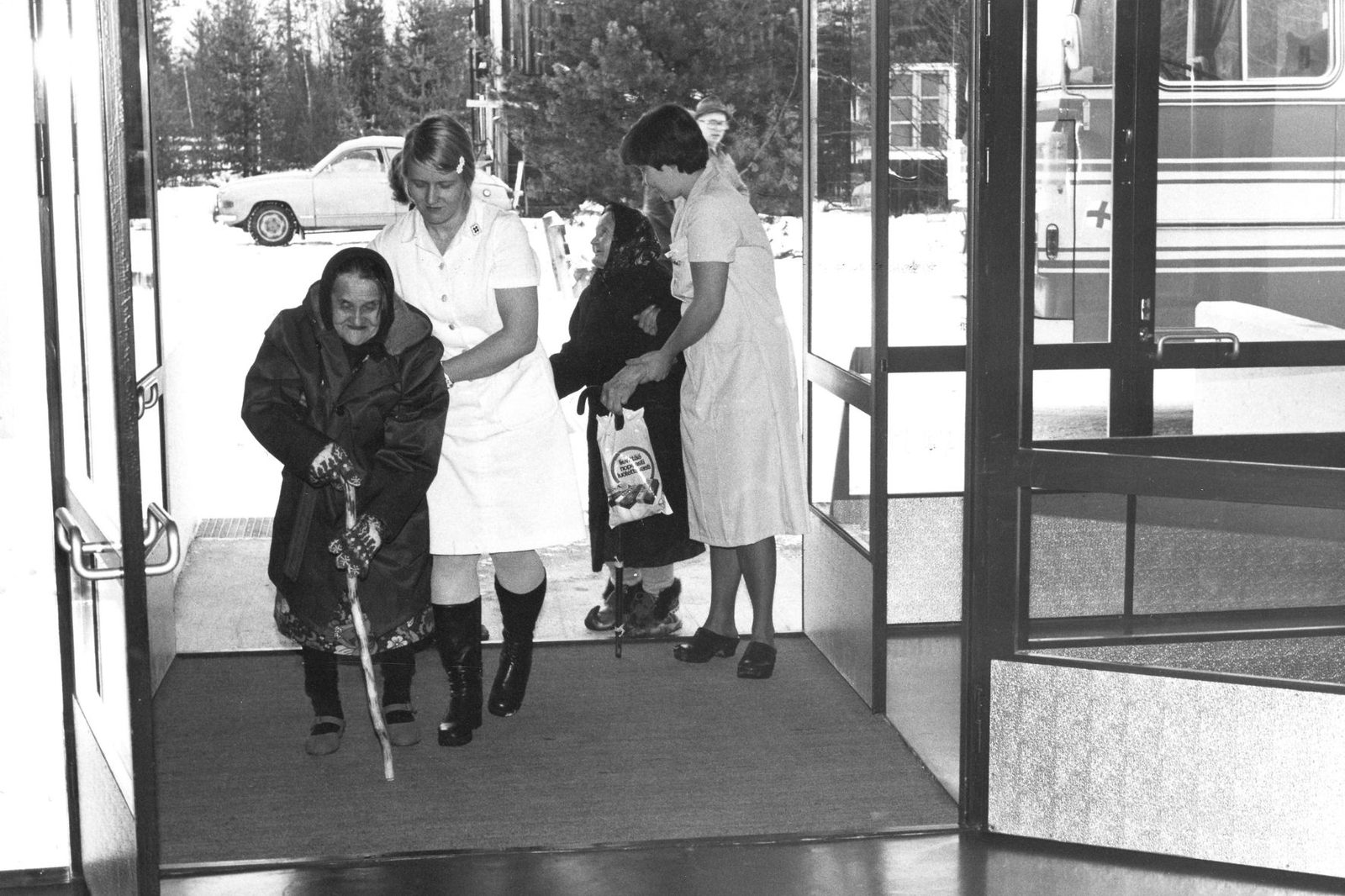
Healthcare services in Ivalo began under modest conditions, with hospital services being set up in a former logging camp, for example. Conditions improved significantly when the regional hospital opened in 1947 and health centres were completed in Inari, Ivalo, and Sevettijärvi in 1948. The health centre serving both Inari and Utsjoki municipalities was completed in 1972.
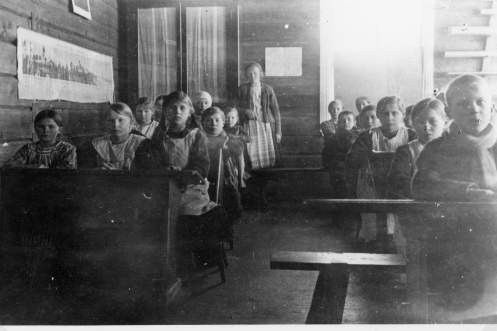
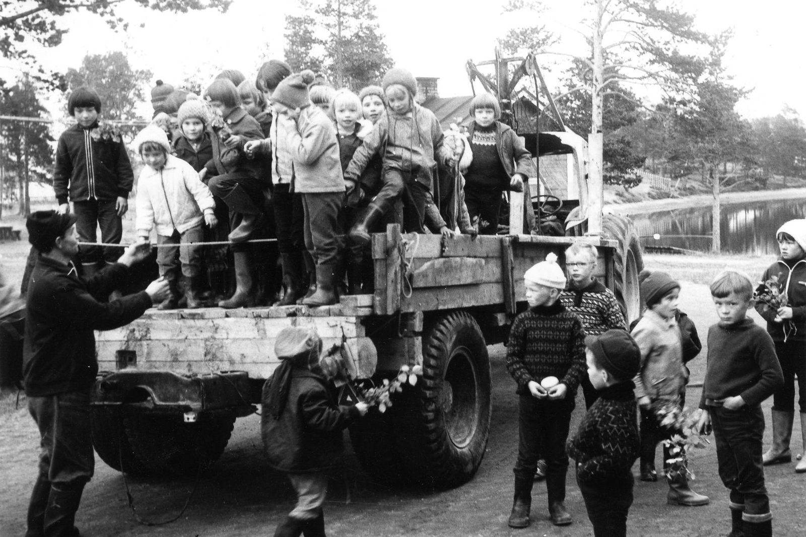
Until the 1920s, children’s education was provided largely by itinerant catechist teachers, who went from family to family. Following the Compulsory Education Act of 1921, Finland adopted the elementary school system, and in 1972 the comprehensive school was introduced, with Lapland among the first regions to implement the reform. Because of long distances, many children were boarded at school, away from home. At its peak, Inari had eleven municipal schools.

Changing livelihoods
Large hydropower construction projects on the Soviet side of the border after the wars brought employment and economic development to Inari. The Jäniskoski power plant was built as part of Finland’s war reparations. Following its completion in 1951, Finnish construction crews went on to build other power plants across the border: Rajakoski (1956) and Kaitakoski (1959) in the Paatsjoki watershed, and Upper Tuloma (1965) in the Tuloma River basin. These projects lasted eighteen years and provided employment for approximately 20,000 Finns.
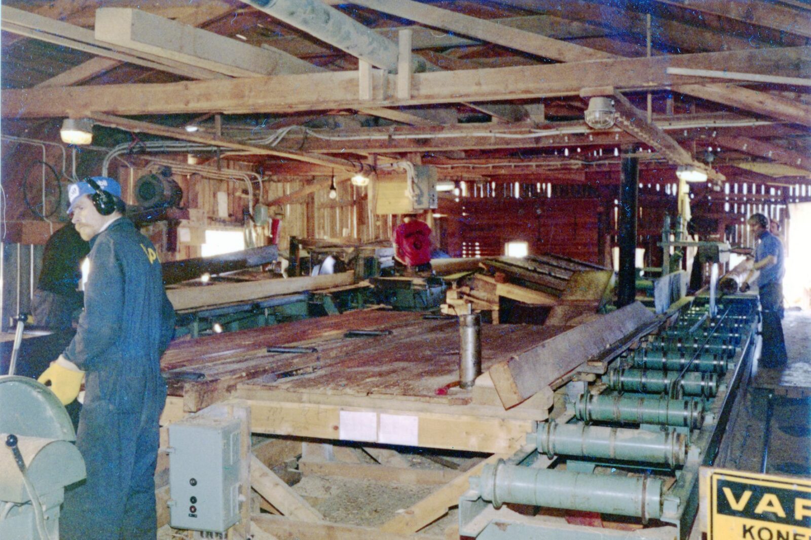
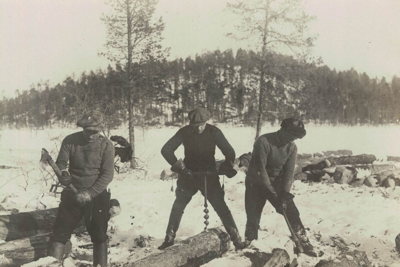
In the post-war years, Finland’s reconstruction required timber both for domestic use and export. Large-scale operations, heavily reliant on loggers, reached their peak, and several sawmills operated in Inari. The largest were Ivalo Sawmill (1951–1979) and Peuravuono Sawmill (1967–2011).
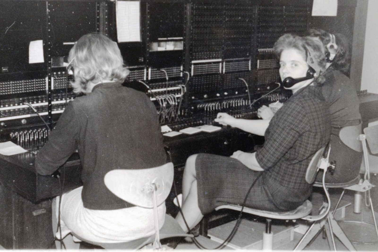
Government agencies such as Metsähallitus (Parks & Wildlife Finland), the Border Guard, the postal and telecommunications services, Customs, the Road Administration, and the Natural Resources Institute Finland have employed large numbers of professionals across many fields. For many people who arrived on the ‘postal bus’, Inari became their new home.
Ivalo Airport, now the northernmost airport in the European Union, was inaugurated in 1955. Since the 1990s, international tourism, including charter flights, has become a major source of income. In the 2000s, Inari also developed into a significant centre for automotive and tyre testing.
Leasure and culture
During the 1950s and 1960s, population growth driven by major hydropower projects, logging operations, and government employment brought new vitality to social life, recreation, and community activities.
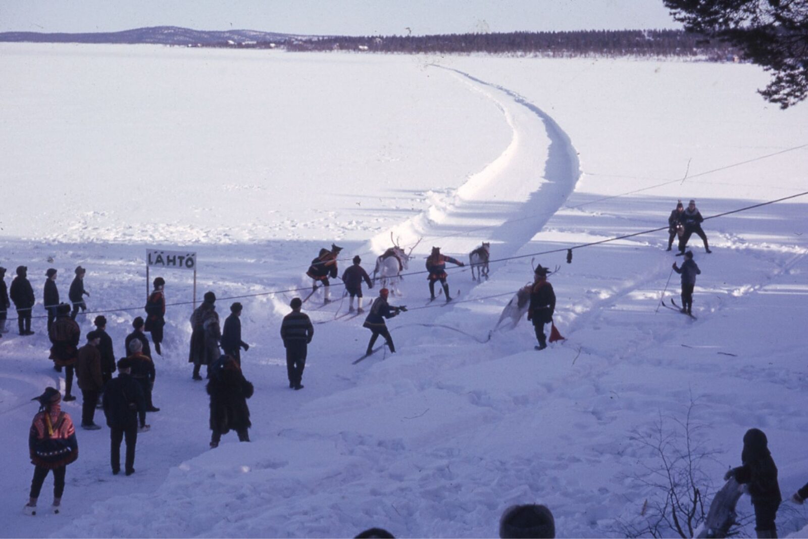
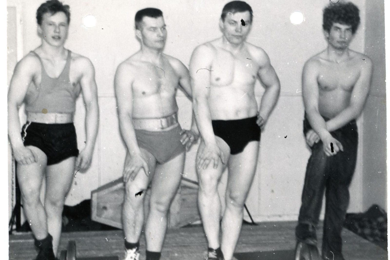
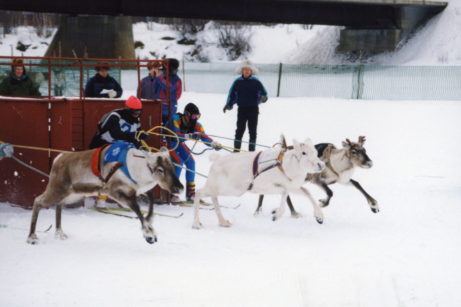
Village hall dances and voluntary community activities organised through sports clubs, youth associations, and workers’ halls brought people together. Cross-country skiing competitions, athletics meets, reindeer races, and ice-fishing contests were regularly organised. Wrestling, ice hockey, and various ball sports were particularly popular.
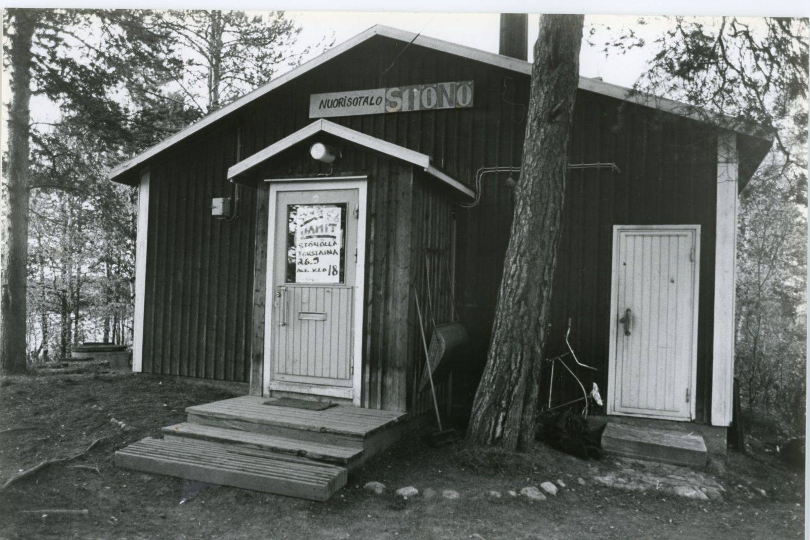
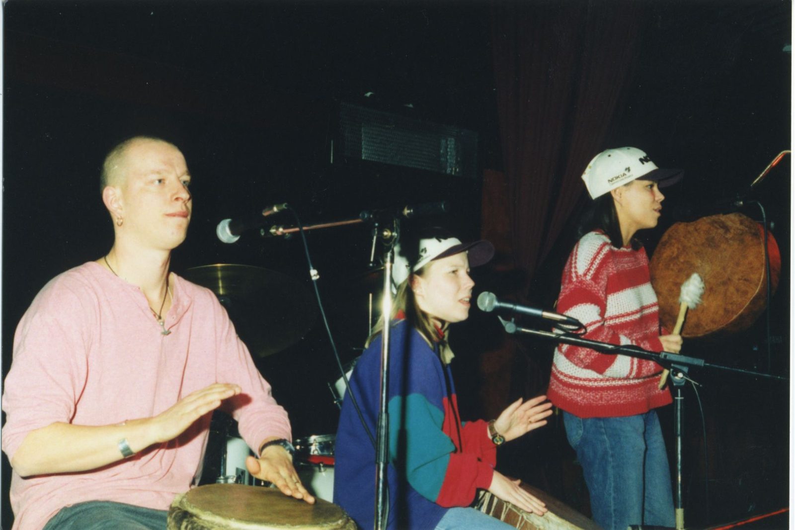
The accordion-based folk music group Ivalon Pelimannit has performed actively since 1974. The youth centre Stönö became an active venue from the 1980s onwards. Instrumental rock music enjoyed great popularity in the 1980s, while rap music from Inari gained prominence during the 1990s and 2000s.
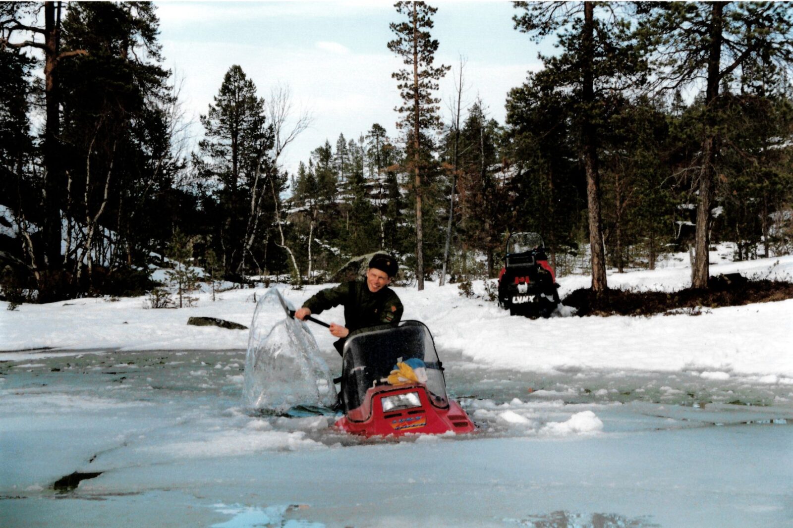
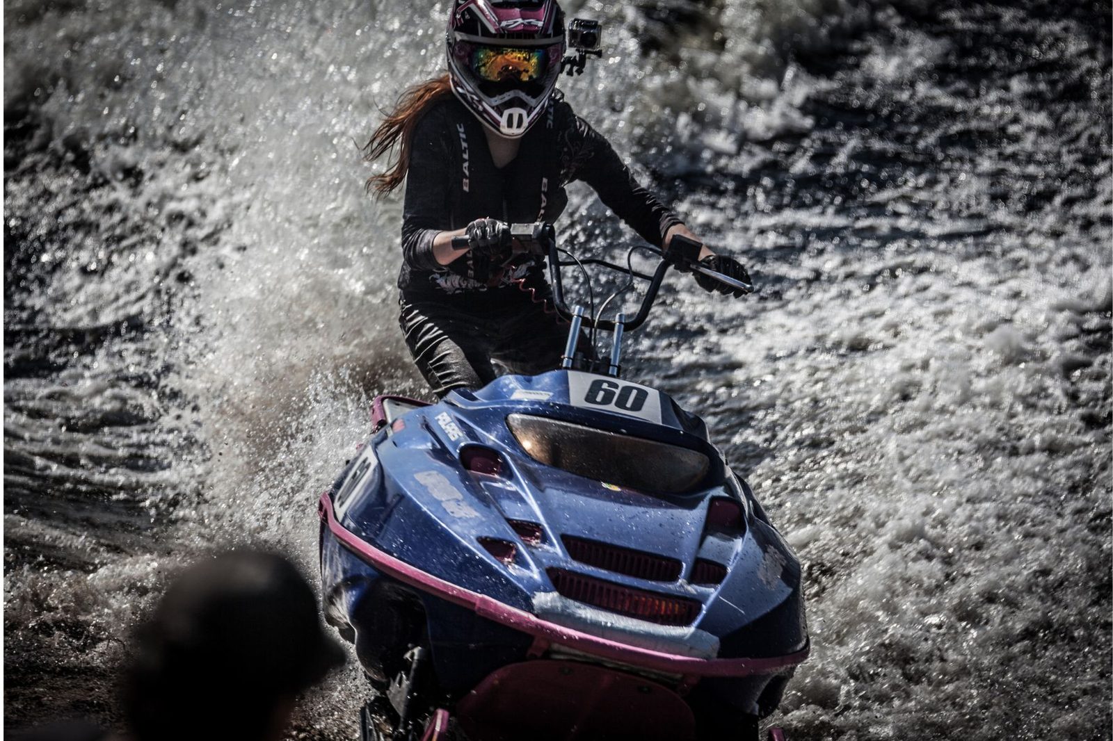
The traditional Watercross Ivalo event, featuring snowmobile racing across open water, has been held annually since 1992. Other major events in the municipality include the Skábmagovat Indigenous Peoples’ Film Festival, Inari Weeks, and the Ijahis Idja Indigenous Music Festival.
In Inari, nature, culture, and way of life are closely interwoven. Fishing, berry picking, and hunting remain important livelihoods and elements of household self-sufficiency. Nature-based recreational activities such as cross-country skiing, downhill skiing, and hiking are popular among both residents and visitors.
Inari – Mighty by nature
Inari lies within the northern boreal coniferous forest zone. The landscape is characterised by crystal-clear lakes and rivers, rolling fells, and vast peatlands. Its ancient Scots pines, some 800 years old, and junipers over a thousand years old are among the oldest trees in Finland.
Sparsely populated Inari is a premier destination for wilderness travel and outdoor recreation. Seventy-two per cent of its land area consists of protected areas. Lemmenjoki National Park, established in 1956, is one of Europe’s largest wilderness areas, distinguished by its long tradition of gold mining. Urho Kekkonen National Park, established in 1983, features an extensive network of hiking trails and wilderness huts, as well as a strong heritage of traditional nature-based livelihoods. The Municipality of Inari contains seven wilderness areas established by law in 1991 – among them the roadless wildernesses of Hammastunturi and Vätsäri – as well as several extensive mire conservation areas.
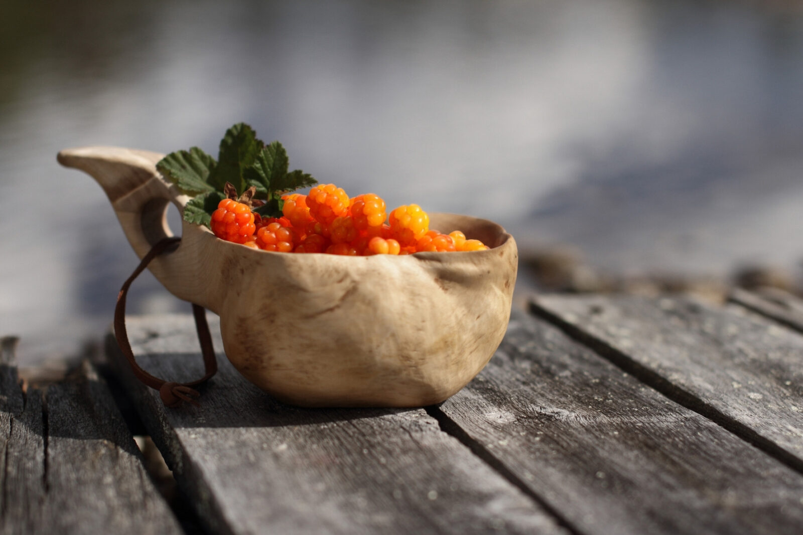
The annual cycle in northernmost Lapland is traditionally divided into eight seasons. These do not follow fixed calendar dates but are determined by nature, daylight, and animal behaviour. Inari experiences eight weeks of midnight sun in midsummer and five weeks of polar night around the turn of the year. Snow and ice typically cover the landscape from October until May. Inari’s coldest recorded temperature, −49°C, was measured in February 1966. The short but bright summer ripens aromatic cloudberries on the mires and wild berries in the forests.
For more information about responsible enjoyment of nature, visit